
FORECAST HIGHLIGHTS
SUNDAY: Just a few downpours are possible, mainly in the afternoon. 40% storm chance
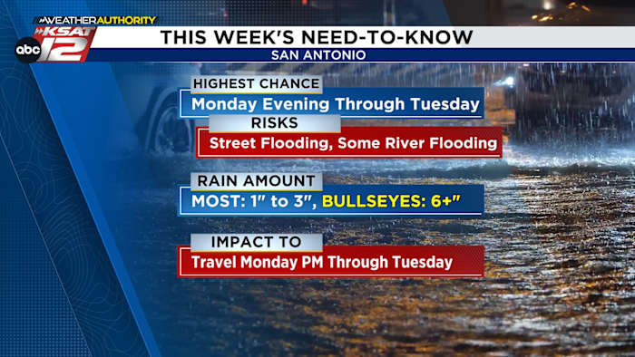
MONDAY EVENING THROUGH TUESDAY: High chance for heavy rain
RISKS – Street flooding, some river flooding
RAIN AMOUNT – Most: 1″ to 3″, Bullseyes: 6+”
IMPACT TO – Travel Monday evening through Tuesday
RAIN CLEARS: By mid-morning Wednesday
SOME RAIN RETURNS: Friday
FORECAST
TODAY
Sunday will be hot and humid with 40% coverage of a few downpours in the afternoon (Copyright 2026 by KSAT – All rights reserved.)
Much like yesterday, hot and humid. But, we’ll have a few more thundershowers at times in the afternoon. Coverage will be around 40% before sunset.
MONDAY THROUGH TUESDAY
Very high moisture from the Gulf moves in as a cool front approaches from the north, producing times of storms with heavy, heavy rain. The highest chance (60%-80%) for you to see storms is Monday evening through the day Tuesday.
While these storms will likely not contain hail, they will produce torrential downpours, which will likely lead to street flooding. Most people will see 1″ to 3″ of rain, but there will be bullseyes of over 6 inches of rain in spots. It’s impossible to know exactly where these bullseyes will be, but odds favor points near San Antonio and south of HWY 90, toward Laredo.
While the highest totals will be south of San Antonio, we will still need to monitor for pockets of 6+” of rain, leading to flooding (Copyright 2026 by KSAT – All rights reserved.)
Street flooding is the primary concern, with dangerous low water crossings and impact to travel. But there is also the risk for some river flooding, especially south of San Antonio. So we’ll need to monitor rapid rises on the Frio, Nueces, and Atascosa Rivers, leading into Choke Canyon and Lake Corpus Christi.
Most of the rain will be done by mid-morning Wednesday.
THE REST OF THE WEEK
It’ll be very hot Thursday, and rain will likely briefly return Friday before a hot and humid weekend.
The latest forecast from Your Weather Authority (Copyright 2026 by KSAT – All rights reserved.)Daily Forecast
KSAT meteorologists keep you on top of the ever-changing South Texas weather.
QUICK WEATHER LINKS
Copyright 2026 by KSAT – All rights reserved.