
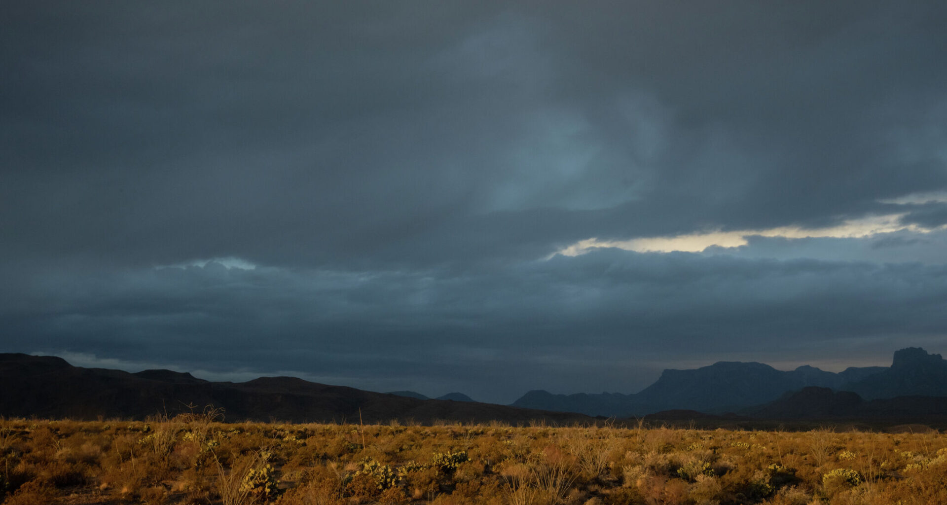
A rare June cold front sent temperatures across Texas plummeting over the weekend. But a tropical storm off Mexico’s Pacific Coast, interacting with cooler air behind the front, means lots of rain could be in the cards for South Texas.
From Monday, June 15, through Wednesday, June 17, storm clouds and thunderstorms could cast a shadow over major Texas metros, from San Antonio to the Gulf Coast. While severe storms with hail or damaging winds seem unlikely, excessive rainfall could cause localized or flash flooding in the coming days.
A 60% to 80% chance of storms looms over South-Central Texas cities Monday and Tuesday, including the Texas Hill Country, San Antonio and Austin.
But it’s coupled with a mild, if short-lived, cooldown. Highs in the first half of the week could stay below 90 degrees, lingering in the mid-80s for most of South-Central Texas. It’s a welcome reprieve from nearly 100-degree days last week, though temperature gauges will begin to climb again on Wednesday.
It’s a similar story stretching all the way down to the Gulf Coast. Corpus Christi and other coastal cities have an 80% chance of seeing thunderstorms on Monday and Tuesday. This far south in Texas, however, storm odds linger much longer.
The cities facing the Gulf will likely have some chance of storms through most of next week, though odds begin to taper off heading into the weekend. In all, cities in the region could see upwards of 3 inches of rain over the next few days.
“Wherever this front does stall, it will act as a focus for convection and a multi-day total through midweek of 1-3 inches is potentially on the conservative side,” the NWS Corpus Christi office said. “Not everyone would see this much, so we’ll have to keep an eye on where the boundary stalls.”