
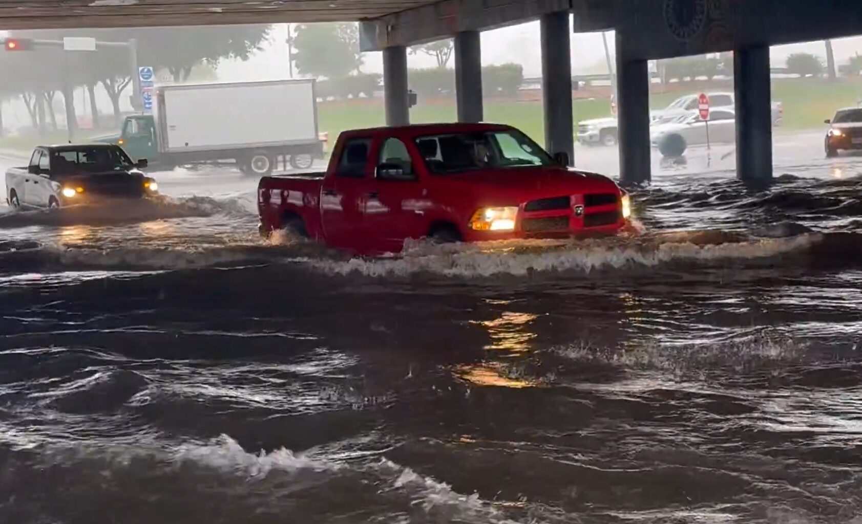
Just hours after catastrophic flooding inundated parts of Central Texas, Houston forecasters are sounding the alarm over a potential “rain bomb” that could dump up to a foot of rain across portions of Southeast Texas by midweek.
Forecasters with the National Weather Service warned Monday that a stalled front merging with a weak tropical disturbance could unleash widespread rainfall totals of 4 to 7 inches across the region, with isolated areas potentially receiving 8 to 12 inches or more.
The overnight forecast update sharply increased expected rainfall amounts and highlighted a growing threat of significant flash flooding between Houston and Beaumont, where weather models continue to signal pockets of extreme rainfall.
“This is the type of pattern where significant flash flooding will occur in a few hours,” Houston meteorologist Jeff Lindner warned.
The concern is not only how much rain falls, but how quickly it falls. Moisture levels in the atmosphere are expected to support rainfall rates of 2 to 5 inches per hour, with some locations potentially seeing 4 to 8 inches of rain in as little as three hours.
The forecast for Southeast follows Sunday night’s significant rainfall and flooding in Central Texas.
Rainfall of more than 5″ pummeled Austin, Waco and surrounding areas on Sunday night, causing flash flooding across the region Sunday night. I-35 in Waco was among the hardest-hit areas, leading to a string of emergency rescues as cars were trapped in floodwaters. One individual stranded on the highway shared videos of the flooding on social media, where he captured water rushing over a retaining wall and first responders sailing out to stranded cars via boat.
“I am grateful to be alive after getting caught in a flash flooding event on I 35 near Waco,” Dallas resident Rick Smith wrote on X in the early hours of Monday morning. “Look how fast the water was coming over this retaining wall. I am so thankful that retaining wall held up otherwise this situation could’ve been a horrible tragedy.
“There were many of us literally trapped on I-35. I am so thankful for the first responders who came out.”
The burst of storms in Central Texas is expected to move east and pummel the Houston area beginning Monday. Jeff Linder, a meteorologist for Harris County, reported Monday morning that there could be up to 7″ of rain in large swaths of Southeast Texas due to rainfall “bombs” over the area, and some spots could see up to 12″ of rain. Kenton Gewecke of ABC News reports Houston is at risk of flooding for four straight days from Monday through Thursday, and a five-day total in Houston could reach 10″ of rain.
Flood watches extend throughout East Texas and into Louisiana this week. Linder predicts widespread totals of 4″ to 7″ of rain across the region, with Galveston and Beaumont among the Texas cities expecting the most significant rainfall.