
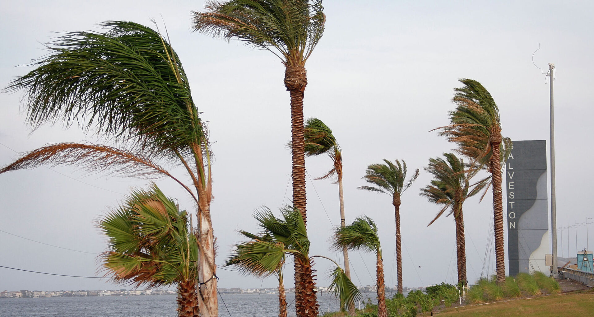
The National Hurricane Center on Monday increased the odds that a disturbance in the Gulf of Mexico could develop into a tropical cyclone later this week, while warning that the system is already capable of producing life-threatening flooding across Texas and the Gulf Coast.
In its 2 p.m. update, the hurricane center raised the system’s seven-day development odds to 50 percent, up from earlier forecasts, as a broad area of low pressure over northeastern Mexico continues to generate widespread showers and thunderstorms.
Forecasters said the disturbance is expected to remain inland through at least Tuesday, limiting development in the short term. However, the system could move back over the warm waters of the northwestern Gulf by late Tuesday or Wednesday, where conditions may support the formation of a short-lived tropical storm.
“Environmental conditions there are marginally conducive for the formation of a short-lived tropical storm on Wednesday into Thursday,” the National Hurricane Center said.
The agency now gives the system a 40 percent chance of tropical development over the next 48 hours and a 50 percent chance over the next seven days.
Even if the disturbance never earns a name, forecasters stressed that its impacts could be significant. The hurricane center warned that southern and eastern Texas, along with parts of Louisiana and Mississippi, should prepare for several days of intense rainfall capable of producing widespread flash flooding.
The updated outlook comes as parts of Southeast Texas are already experiencing heavy rainfall. Local forecasters have warned that rainfall rates could exceed several inches per hour, with isolated totals reaching double digits in some locations through midweek.
In addition to flooding concerns, the hurricane center said gusty winds and coastal flooding could develop along portions of the upper Texas and Louisiana coast later this week. If the system becomes better organized, Tropical Storm Watches or Warnings could be required as early as Tuesday.