
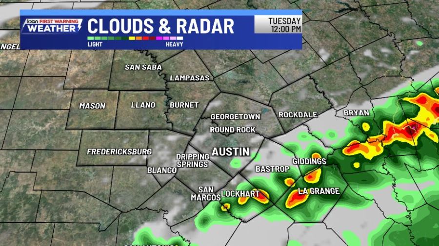
AUSTIN (KXAN) — Areas along and east of I-35 will be favored for scattered showers later today, some of which could be tropical downpours.
A Flood Watch has been cancelled early for most of the area, but remains in effect for Fayette County until this evening.
A tropical low to our south will skirt right off the coast of Texas. As it does, it will bring significant rain and dangerous flash flooding to south and coastal Texas. Here locally, we’ll get just a piece of this action with scattered rain this afternoon, mainly along and east of I-35.
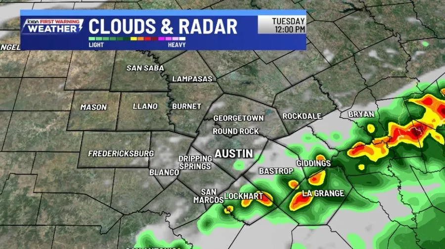
Scattered showers return along and east of I-35 Tuesday
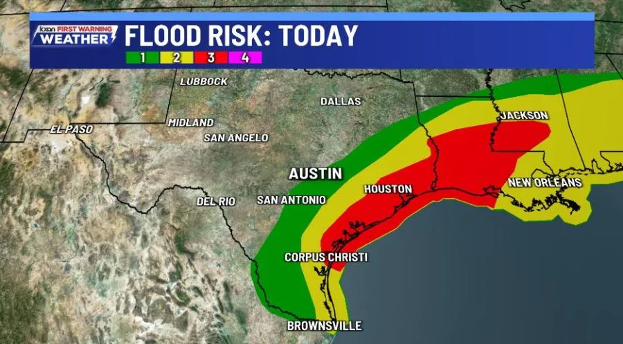
Significant flood risk for south and coastal Texas Tuessday
Drier then Wetter
We turn mostly to completely dry for Wednesday and Thursday before higher rain chances come our way from another approaching boundary Friday into the weekend.
Locally heavy rain will be a concern and we’re already in a level 2 out of 4 flash flooding risk for Friday.
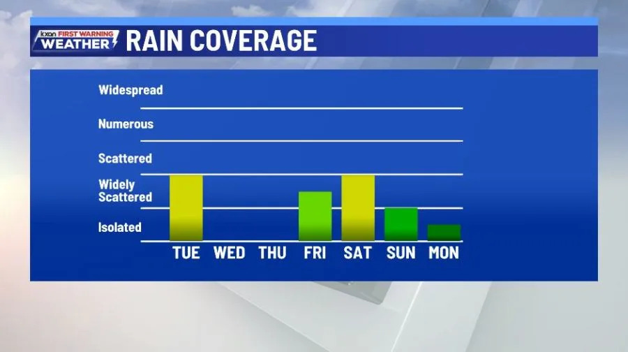
Rain chances increase again late week into weekend
Stay tuned…
Copyright 2026 Nexstar Media, Inc. All rights reserved. This material may not be published, broadcast, rewritten, or redistributed.
For the latest news, weather, sports, and streaming video, head to KXAN Austin.