
Texas can’t get a long break from the storms. Parts of the state could see more severe conditions than just rain on Tuesday, June 16, according to the National Weather Service (NWS).
The NWS has issued a Hazardous Weather Outlook for the Panhandles through 11:58 p.m. tonight. It covers the counties of Potter, Palo Duro Canyon and Sherman.
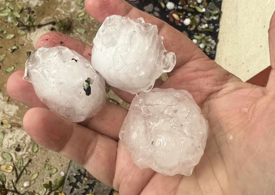
The agency says the eastern cities, including Amarillo, Claude, and Wheeler, face a marginal to Level 1 risk, on a scale of 5, that the situation will turn severe. Potential hazards include golf-ball-sized hail up to 1.75 inches in diameter and 70 mph wind gusts. Forecasters also say the area can’t rule out lightning and a tornado, though the latter is unlikely.
Folks in the region should be extra cautious during their evening commute. Storms are most likely to hit northeastern counties, including Beaver, Follett, and Canadian, at 4 p.m. They could continue through 8 p.m. Meanwhile, Clarendon, Wellington and Pampa likely won’t see any action until 6 p.m., according to the NWS. They could remain active through midnight, per the agency.
The timing will coincide with the peak heating hour of the day, meteorologists say. During daylight hours, it will be sunny, and the high should be near 95 degrees, according to the agency’s seven-day forecast. After sunset, temperatures could drop to 70 degrees.
It’s no surprise to Texans that the weather can be unpredictable. On Wednesday, June 17, the NWS is warning residents of a different hazard –– heat.
“We could see widespread 100s across the area, with the hottest spots [Palo Duro Canyon] having potential to reach the 110°F mark,” forecasters with the Amarillo office wrote in a post on X.com. “This brings the risk for heat illness, so be sure to stay hydrated.”
Locals should limit outdoor activities to the early morning or evening. The region will experience the most extreme temperatures between 1 p.m. and 9 p.m., according to the NWS, with those in the Canadian, Wheeler and Wellington areas most affected.