
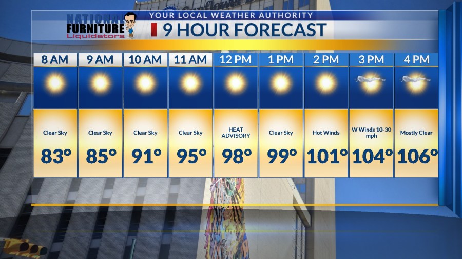
The Misery Meter went up again today with a high of 100.
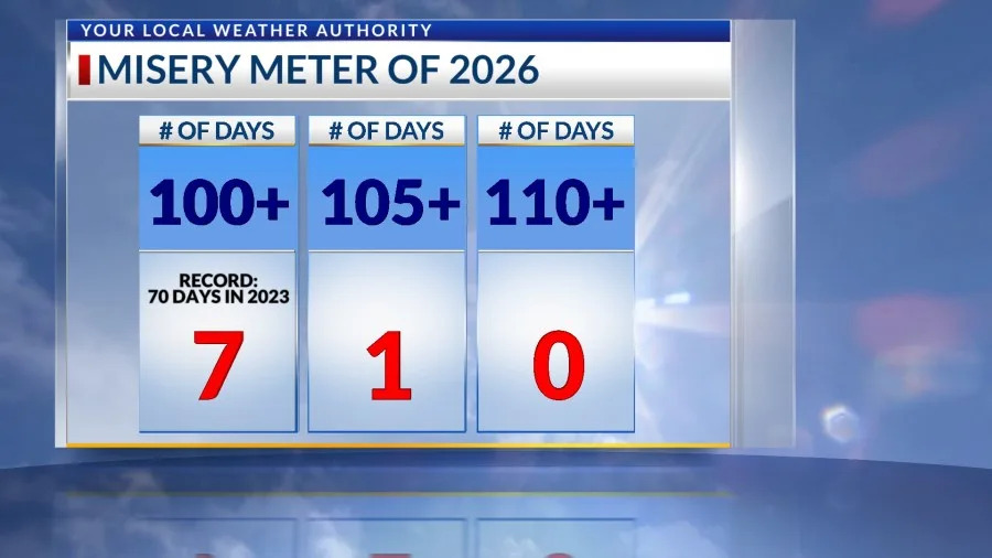
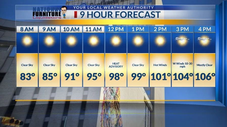
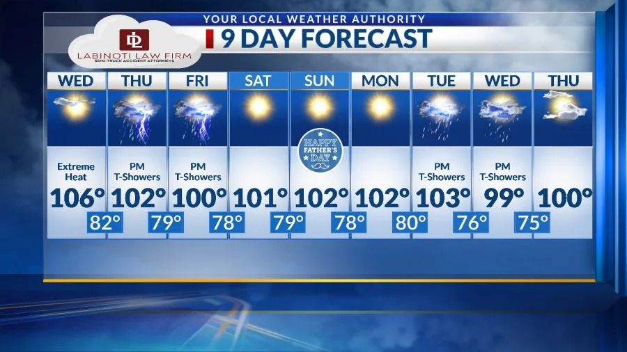
Here’s your exclusive 9-Hour Forecast for Wednesday with your 9-Day Forecast below.
TONIGHT: The skies will be partly cloudy early in the evening. We’ll see distant storms, especially south of the border, as well as a few pinpoint area showers. This is only a slight chance, and most drops would evaporate before hitting the ground. Expect clear skies overnight, and the low will drop to 80. The west winds will range from 5-15 mph with occasional gusts from distant storms.
FORECAST: A Heat Advisory is posted for Wednesday from noon until 9 PM. Wednesday will bring excessive heat with a high of 106 as high pressure reaches its maximum. The SW-west winds will range from 10-30 mph, a bit gusty at times on the east slopes of the mountains. We could see some distant storms. Thursday will be partly cloudy and very hot with a high of 102. By late day, expect scattered late day t-showers and gusty winds as the storms fall apart. Friday will be partly cloudy with late-day t-showers. Friday’s high: 100. Saturday will be mostly sunny and 101. Father’s Day Sunday will be sunny and 102. Monday will be sunny and 102.
Copyright 2026 Nexstar Media, Inc. All rights reserved. This material may not be published, broadcast, rewritten, or redistributed.
For the latest news, weather, sports, and streaming video, head to KTSM 9 News.