
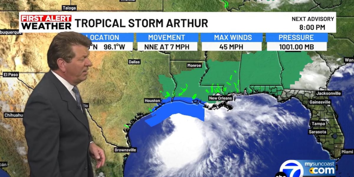
SARASOTA, Fla. (WWSB) – A tropical disturbance near the Texas coast strengthened into Tropical Storm Arthur, becoming the first named storm of the 2026 Atlantic hurricane season.
Parts of Texas and Louisiana are under a tropical storm warning. The storm made landfall and is moving northeast over land.
Arthur is weakening as it continues to move toward Louisiana. Strong wind shear in the mid-levels and upper levels of the atmosphere is blowing storms away from the center, which is now exposed over land.
Download the 2026 Hurricane Guide on Mysuncoast.com
Heavy rainfall is forecast to follow the storm into Louisiana, Mississippi, Alabama and the Florida panhandle. Tornadoes are possible.
Rainfall could reach 10 inches, with some isolated areas potentially seeing up to 20 inches of rain.
Tropical storm warnings remain in effect along the Louisiana coast to Morgan City. Those areas could see tropical storm force winds up to 40 mph.
Flood watches are in effect from southeast Texas into most of Georgia.
The storm is expected to be downgraded to a tropical depression by tonight or tomorrow morning as it continues to weaken over land and move to the northeast.
Copyright 2026 WWSB. All rights reserved.