
Kyle McClenagan/Houston Public Media
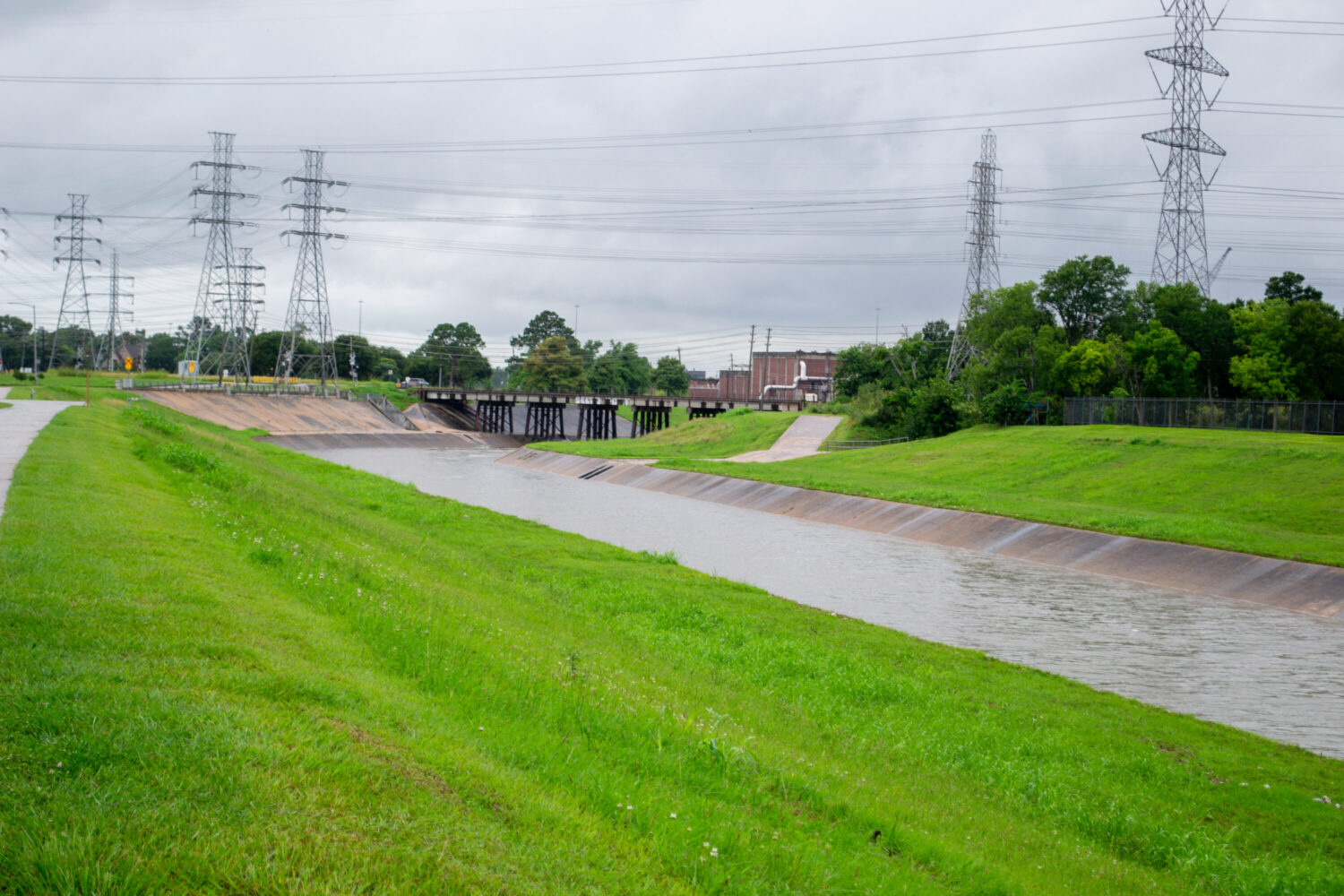
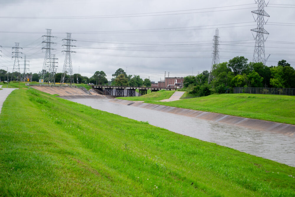
Water flows through Brays Bayou in Houston on June 16, 2026.
The Houston area appears to have dodged a bullet in terms of severe and widespread flooding. Tropical Storm Arthur and the heavy rainfall that preceded it largely spared the network of waterways that honeycombs the region.
Rainy weather in the region had largely subsided as of late Wednesday afternoon, although Galveston remained under a tropical storm warning, with the potential for storm surge and strong winds.
“The bayous and creeks have done really well with this event,” said Jeff Lindner, meteorologist with the Harris County Flood Control District. “The breaks in the rainfall, so we get a couple hours of heavy rainfall and then we get 10, 12, 14 hours of a break, and that’s really saved us throughout this event, and so that’s given the bayous and creeks time to drain off the water before the next round comes in.”
Sign up for the Hello, Houston! daily newsletter to get local reports like this delivered directly to your inbox.
Lindner said what made the difference was that, while regions to the north of Houston saw heavy rainfall, Montgomery and San Jacinto counties were mostly spared the worst effects.
A 15-year-old boy drowned Tuesday evening in a flooded retention pond in Montgomery County.
“That can come down the San Jacinto River and those watersheds and impact Harris County,” Lindner said.
Lindner said the main danger for the region in the immediate future will come not from flooding but from intense heat and humidity as temperatures soar back into the 90s as early as Thursday.
The National Weather Service has issued a heat advisory for the Houston and Galveston region that will be in effect from 11 a.m. Thursday until 10 p.m. Friday.
“The next four or five days is going to be the first taste of some really humid and hot conditions here,” Lindner said, “so we need to really stress those heat precautions. Drink plenty of water. Take breaks in AC if you can.”