
Thursday was the hottest day of the year so far, as much of South Texas saw heat index values, or humidity-driven “feels like” temperatures, rise to more than 110 degrees. Heading into the weekend on Friday, a weak summer cold front will push closer toward South-Central Texas. But the front will likely stall before truly moving through San Antonio, dropping city temperatures only by a few degrees.
Early Friday, a few morning showers and thunderstorms might be ongoing across the Texas Hill Country, as rainfall continues to develop along the weak cold front moving in. Rain chances will be greatest (near 40%) in areas such as Kerrville, Fredericksburg, Junction and Rocksprings. San Antonio rain chances will be less than 20% in the morning.
Heading into the early afternoon, San Antonio rain chances will increase slightly, but storms are expected to stay isolated across the region, leaving many areas dry. Temperatures are expected to rise as high as 93 degrees, with heat index values expected to peak between 105 and 110 degrees.
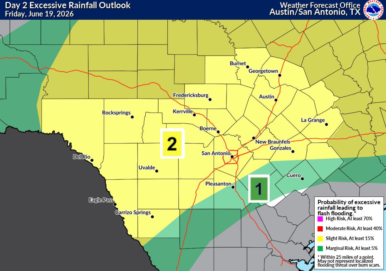
Storm chances will increase by late Friday afternoon and into the evening, with about a 40% chance of storms expected in the San Antonio metro area. Then by late Friday night, storm chances will continue, as another potential cluster of storms forms to the west and progresses slowly eastward. Scattered storms might continue into the early morning on Saturday.
Saturday: A few scattered thunderstorms might also develop again by Saturday afternoon, with about a 30% chance of new rainfall expected in San Antonio. Otherwise, it will be another hot and humid day, with heat index values rising to near 105 degrees again.
San Antonio is projected to see just a half-inch of rain through Saturday, according to the National Blend of Models. However, because of the scattered nature of the incoming storms, actual rainfall totals will be very inconsistent. Some areas will stay dry, while a few isolated spots could see 3 inches of rain or more.
San Antonio rain chances will decrease next week, as high atmospheric pressure forces most of the storm chances into the northern half of the state. An isolated storm remains possible but the odds are placed at less than 20% from Monday through Wednesday.
Meanwhile, the summer heat will stay relentless. San Antonio high temperatures are expected to reach the lower to mid-90s every day next week. The first half of the week will stay humid, too, resulting in heat index values near 105 degrees through Tuesday. Then, slightly drier air will keep heat index values in check during the second half of the week.