
Nothing says welcome back to the hotter months in Texas like a chance for flash flooding as a heatwave hits the South-Central Texas area. The National Weather Service has issued a Heat Advisory that will remain in effect from Noon to 8 p.m. on Friday, June 19 in the Coastal Prairies, I-35 Corridor, and Rio Grande Plains, as heat indices have the potential to be between 108 to 112 degrees in the area. “Hazardous heat could persist through the weekend with possible issuance of additional heat related products,” the NWS said.
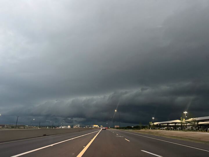
As it heats up in the area — due in part to an “intense, humid heatwave,” per the NWS — the potential for locally heavy rain could result in flash flooding and “rises on area creeks, streams, and rivers,” from Friday night through Saturday June 20. “Greatest risk occurs [Friday] through this evening across majority of South-Central Texas where there is a level 2 of 4 risk for excessive rainfall,” the NWS said. “Rainfall rates could exceed 2 inches per hour at times in the heaviest rain. Heavy rain is expected to cover the Edwards Plateau and Hill Country early [Friday] and then expand south and east to the Rio Grande Plains, I-35 Corridor, and Coastal Prairies later [Friday].”
Focusing in on San Antonio itself, a 40% chance of showers and thunderstorms will persist after 1 p.m., according to the NWS. It will be mostly cloudy with highs in the mid-90s as heat indexes could reach 106 degrees with 5-10 miles per hour winds. Rain chances remain consistent into Saturday as temperatures drop to just above the high 80s and low 90s, while heat indexes remain in the triple-digits.
Storm chances drop to 30% Saturday night into Sunday, June 21, as the official start to summer will be mostly sunny, with highs near 93 before we have the potential to see clear days and sunny skies next week. So, enjoy the rain as it lasts y’all.