
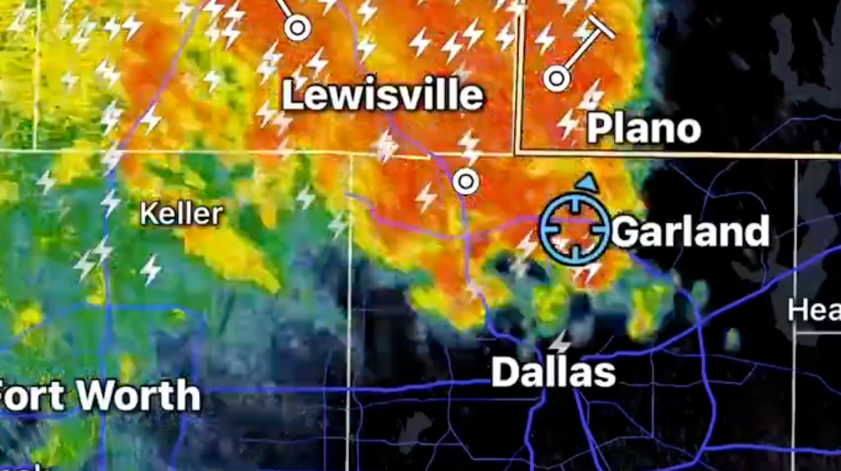
National Weather Service in Dallas Fort Worth said widespread thunderstorms are to be expected all; day on Friday
08:44 ET, 19 Jun 2026Updated 09:26 ET, 19 Jun 2026
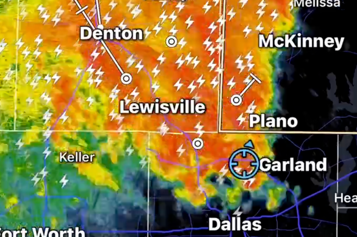
Strong storms have slammed into North Texas on Friday morning, wreaking havoc on air travel.
“Strong but non-severe storms are moving across North Texas at this hour,” Joe Kelley from KRLD Morning News in Dallas posted on X. “As you can see, there is a whole lot of lightning embedded in the storms and very heavy rain. There is a ground stop at both of our airports at this hour.” National Weather Service in Dallas Fort Worth said widespread thunderstorms are to be expected all day on Friday.
“Numerous thunderstorms will spread from northwest to southeast through most of the area today. Some strong to severe storms are possible with damaging winds, hail, and heavy rainfall. Wait at least 30 minutes from the sound of the last thunder to resume outdoor activities,” NWS Dallas said.
A special weather statement warning of wind gusts between 50 and 55 mph was issued by the NWS for portions of Collin, Denton, Grayson, and Cooke Counties. However, it was allowed to expire at 7 a.m.
Additionally, portions of Dallas, Collin, Denton, Montague, Wise, Jack, Palo Pinto, and Parker Counties were under a flood advisory from the NWS.

A special weather statement warning of wind gusts between 50 and 55 mph was issued by the NWS(Image: Brett Coomer/Houston Chronicle v)
With damaging winds being the primary hazard, the Storm Prediction Center declared a category 1 risk for severe storms.
For both DFW and Dallas Love Field airports, the FAA established a ground stop that keeps all incoming aircraft at their origins until at least eight in the morning. According to the flight tracking website FlightAware, 198 flights into or out of DFW had been delayed and 48 had been canceled as of 7 a.m. Love Field is experiencing 25 cancellations and 80 delays.
Click here to follow the Mirror US on Google News to stay up to date with all the latest news, sports and entertainment stories

(Image: Brett Coomer/Houston Chronicle v)
With highs in the low 90s and heat index readings close to triple digits, scattered, pop-up storms are predicted for Saturday afternoon.
Sunday is a considerably hotter and more humid day as the likelihood of rain decreases. In Dallas-Fort Worth, “feels-like” temperatures might reach 110 degrees, while the heat index is predicted to rise over 105 degrees.
Next week will continue to be hot and muggy, with sporadic afternoon showers and thunderstorms, according to Fox Weather. Throughout the week, expect hot temperatures and sticky humidity.
Sign up to our FREE newsletter and get the top stories to your inbox
DAILY NEWSLETTER: Sign up here to get the latest news and updates from the Mirror US straight to your inbox with our FREE newsletter.