
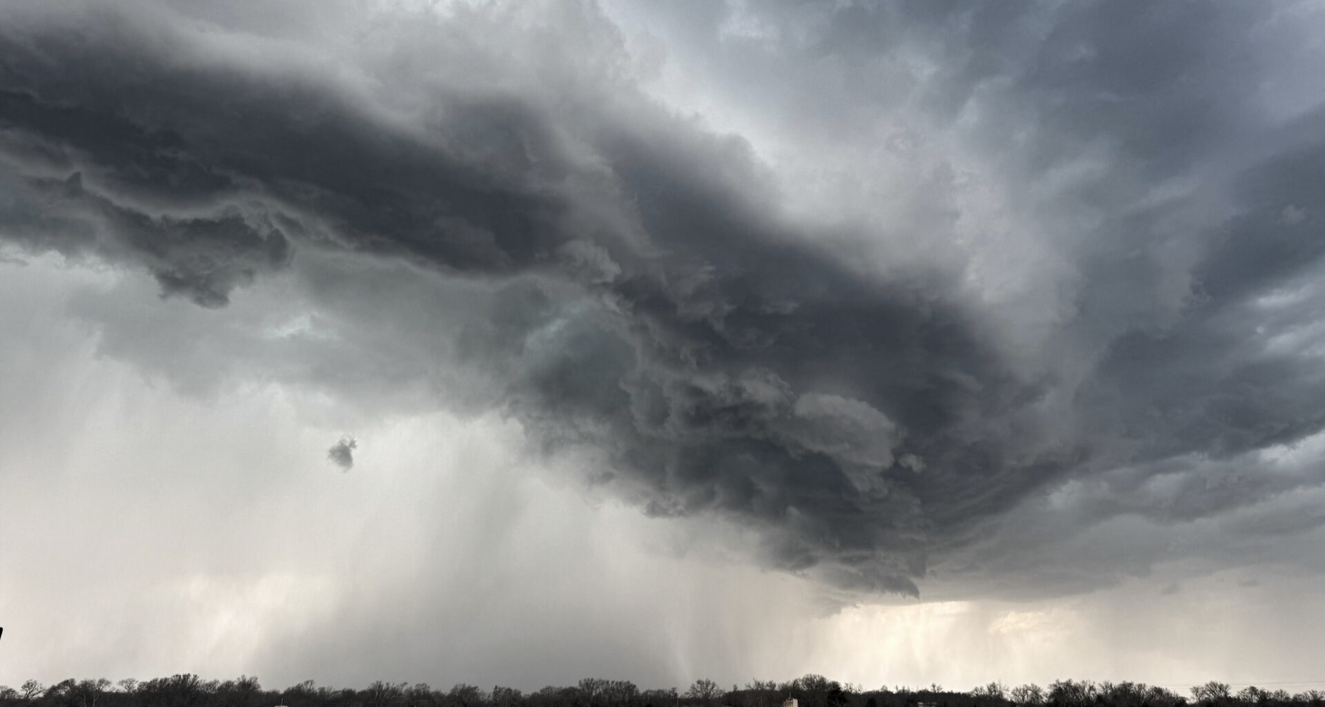
Storms are heading to parts of Texas on Monday morning, June 22, according to the National Weather Service. The agency is encouraging folks in the northern part of the state to enable multiple ways to receive emergency alerts.
Forecasters say that some of the Dallas-Fort Worth metroplex, Sherman and Paris are under a severe thunderstorm watch. The warning is active through 11 a.m., when there is a 70% chance of rain.
“Scattered damaging wind gusts up to 75 mph, hail up to quarter size, heavy rainfall and localized flooding are the main threats,” the agency wrote in a post on X.com. “Seek shelter indoors if a warning is issued for your area.”
It comes as a weak storm complex moves southeastward and out of Oklahoma. Meteorologists are predicting between a quarter and a half of an inch of rain. Depending on how much actually falls, some neighborhoods could experience localized flooding. Frequent lightning is expected, so outdoor recreational activities may need to be rescheduled.
Highs will range from the upper 70s to the low-90s in the afternoon. It will remain cloudy after sunset and temperatures could dip to 78 degrees. The chance of rain will decrease to 20%, per the NWS.
However, the storminess is expected to continue through the middle part of the week, according to meteorologists. Current models show a 20 to 60% chance for storms on Tuesday, June 23, and roughly a 25% chance on Wednesday, June 24.