
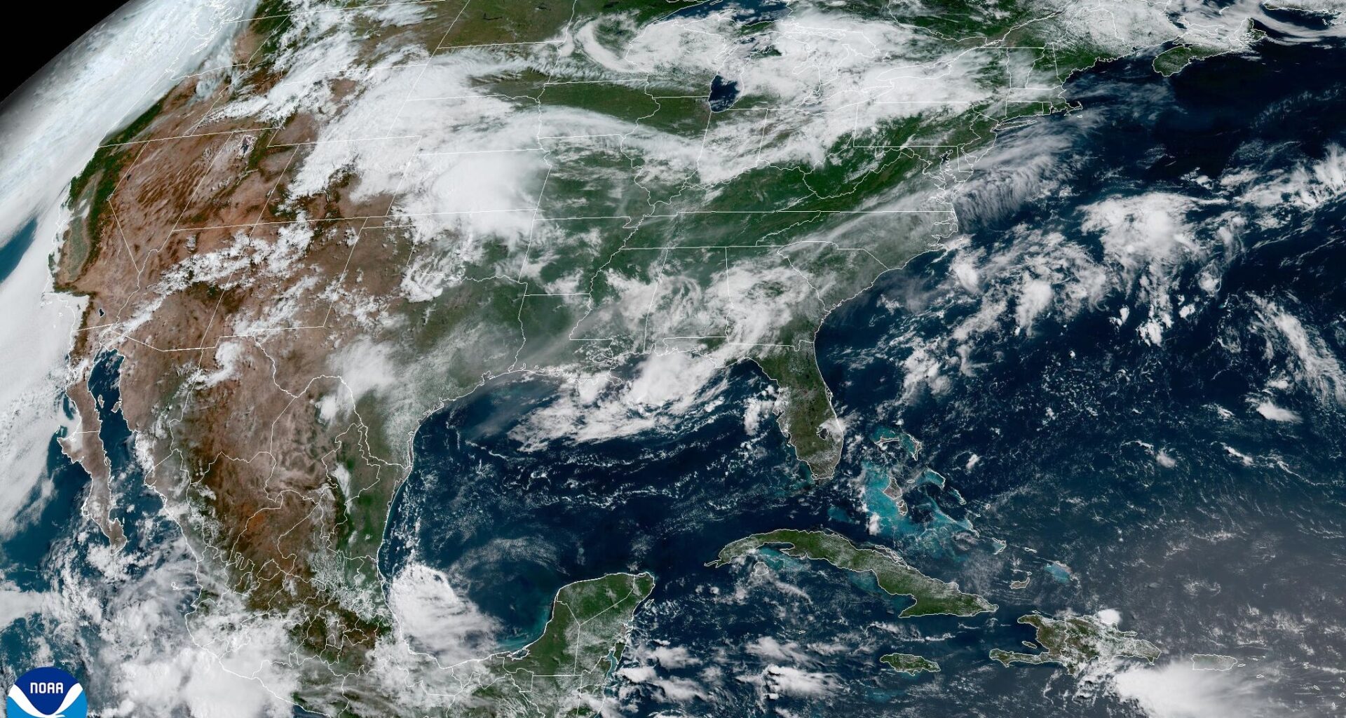
A mid-level ridge of high atmospheric pressure centered over northern Mexico, and the southern Plains will continue to dominate Central Texas weather.
For Austin, the biggest question isn’t whether it will be hot, but just how hot will it get. With temperatures projected to climb into the upper 90s each day, Austin could make a run at its first 100-degree temperature of the year sometime during the next week.
Sunrise temperatures will be in the middle and upper 70s at 6:30 a.m. under a mostly cloudy sky. By mid-morning, the skies will begin to clear with temperatures climbing to 90 degrees at noon with humidity driving the heat index to a “feels like” temperature of 98 degrees.
The rest of the afternoon will be mostly sunny and hot, with temperatures topping out in the upper 90s and feeling like 99 to 102 degrees. South winds will be gusty, between 25 and 30 mph, especially once the sun sets at 8:30 p.m.
Cloudy morning skies will give way to milky sunshine as a steady stream of light Saharan dust moves into Texas on Saturday and Sunday. The persistent ridge of high air pressure over the region will keep the weather warm, dry, and breezy throughout the weekend.
Temperatures will stick around the upper 70s in the mornings and the upper 90s in the afternoons.
“Sufficient daytime mixing of moisture each afternoon should keep heat indices below advisory criteria, but values are expected to regularly approach or reach the triple digits and bring minor to moderate levels of heat risk,” meteorologists at the National Weather Service wrote in their daily weather discussion for Central Texas. “A slight increase in tropical moisture associated with a weak inverted trough in the Bay of Campeche Sunday may help enable the highest heat indices of the forecast period with peak values in the 103-106 range, but otherwise little variation in the weather is expected through the end of June.”
If you’re looking for something interesting on the weather front, Austin could be flirting with its first 100-degree day of the year on Monday.
However, confidence remains low. Of the forecast models we regularly monitor, only one — the Global Forecast System — is forecasting a high temperature of 100 degrees Monday afternoon. The other models keep highs in the 96- to 98-degree range.
For now, take the triple-digit forecast with a grain of salt. While it’s certainly possible, most guidance suggests Austin will remain just shy of the 100-degree mark.
Our next rain chance appears minor, with a few coastal showers potentially moving into the area next Wednesday or Thursday.