
While much of Texas continues to bake under triple-digit temperatures, parts of the state’s Panhandle could also contend with a round of strong to severe thunderstorms through Wednesday, according to forecasters.
“Rain and thunderstorm chances persist through midweek with potential for a few storms to become strong (or) severe with locally heavy rainfall,” forecasters with the National Weather Service Amarillo Office posted to X on Sunday.
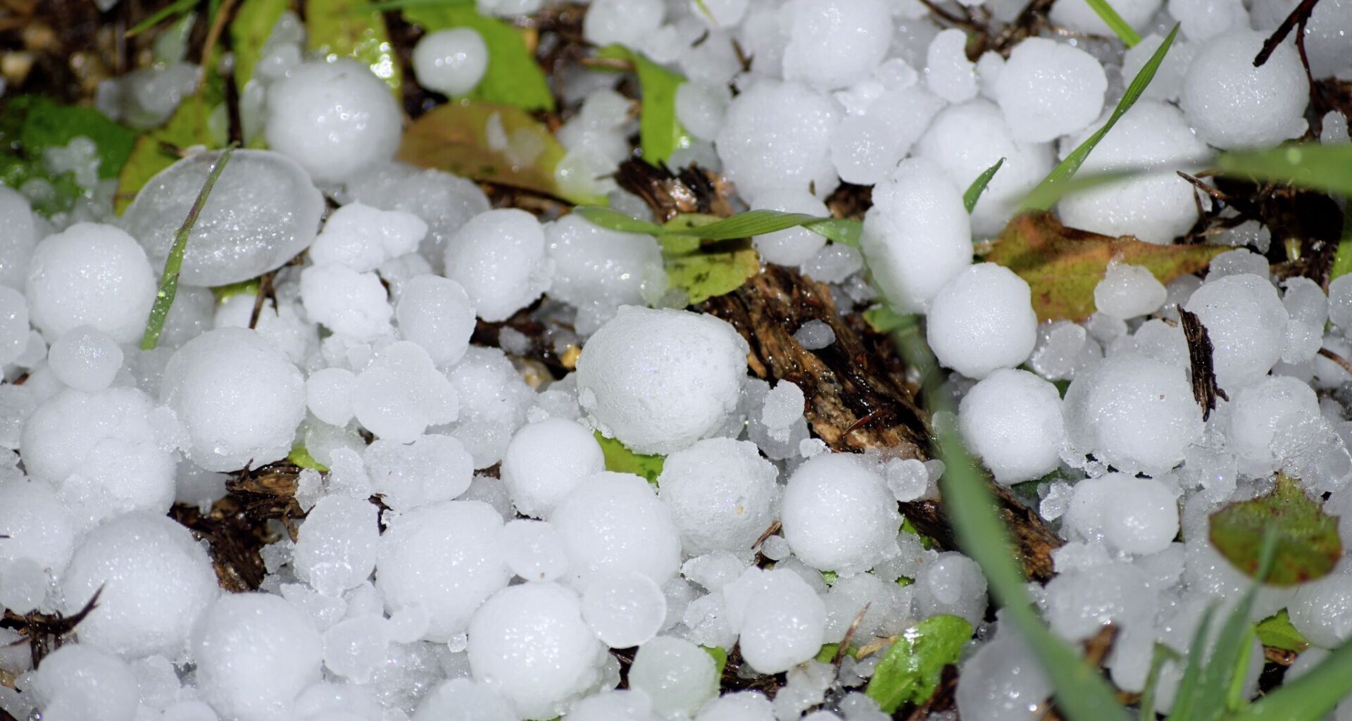
Conditions are expected to become more active Tuesday as forecasters anticipate a windy day with scattered thunderstorms developing across the region. AccuWeather meteorologists warn that some of those storms could become strong, bringing heavy downpours, large hail and damaging winds.
The Weather Channel forecasts a 39 percent of precipitation during the day Tuesday, increasing to a 51 percent chance at night. Southerly winds are also expected to strengthen between 20 and 30 miles per hour.
Unsettled weather is expected to linger into Wednesday. The Weather Channel forecasts a 42 percent chance of precipitation during the day, with rain chances easing slightly to 38 percent Wednesday night. Thunderstorms that develop could once again batter parts of the Panhandle with heavy rain, gusty winds and hail.
Closer to home, National Weather Service forecasters expect peak summer heat to continue through the entire work week, with temperatures climbing to the upper 90s across much of Southeast Texas. The heat index should make it feel more like 105-110 degrees, according to the NWS.
Saharan dust is also expected to move in throughout the early part of the week, ending sometime in Tuesday.