
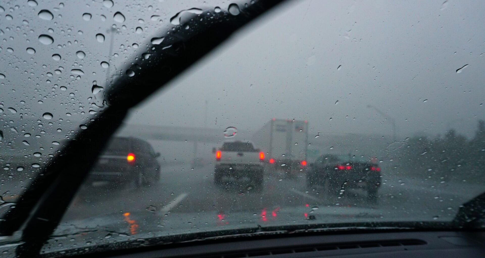
Parts of Texas will experience gloomy weather conditions on Monday, June 28. The state’s northern counties are at risk for localized flooding by the end of the week.
Forecasters at the agency’s Amarillo office say a storm system has developed and is set to move eastward, gaining more moisture and instability. There is a 20 to 40% chance of storms hitting Claude and Vega this afternoon, along with some of their other surrounding towns. The likelihood gets lower toward Perryton and Beaver.
“Storms will intensify with an increasing threat for small hail. Storms should begin weakening after sunset, but showers and isolated thunderstorms could persist until around midnight before fully dissipating,” the NWS said in its recent forecast discussion. “Overall, can’t entirely rule out a wind gust up to 60 mph, but the threat is lower than previous days.”
The most likely time storms could begin is 4 p.m., according to the NWS. They could last intermittently through 1 a.m. on Tuesday, June 30.
Locals should stay vigilant if they have outdoor plans. Meteorologists say the system could also produce frequent lightning and rounds of heavy downpours, which could spark localized flooding concerns.
During the day, the region can expect high temperatures around 99 degrees, but breezy winds blowing around 20 mph could bring some relief. After sunset, temperatures are expected to drop to around 72 degrees.
Still, some cities, including Borger, Perryton, Beaver, and Amarillo, are at level 3 out of 4 under the NWS’s Major Heat Risk determiner.
“It might not be as hot as recent days, but Monday is still bringing dangerous heat to the Texas and Oklahoma Panhandles,” the agency’s website states. “A Level 3 Major Risk means heat-related impacts are likely for anyone without effective cooling or proper hydration.”
Rain chances persist on Tuesday, June 30, with the threat being highest near Vega.