
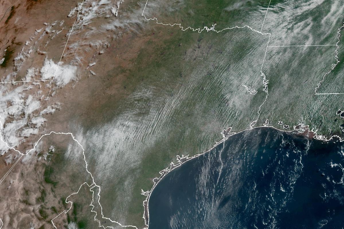
Skies over Southeast Texas this week will contain a mix of scattered clouds and a plume of Saharan dust, leaving a haze over city skylines and for some folks, aggravating their sensitive respiratory systems.
Geostationary Operational Environmental Satellites/CIRA and NOAA
The Saharan dust plume should be exiting Southeast Texas on Tuesday, but Houston weather continues to be under the thumb of high atmospheric pressure and humidity-boosted heat this week, according to the National Weather Service.
Southeast Texas will be under a moderate risk of heat-related illnesses through Thursday, largely because peak heat index values, or humidity-driven “feels like” temperatures, will soar to between 103 and 108 degrees (or 39 to 42 degrees Celsius for our World Cup international visitors).
Although forecasters are calling for low to moderate rain chances Tuesday through Friday, we’ll have to manage our expectations because any rainfall will be limited.
Article continues below this ad
Heat index values, or humidity-driven “feels like” temperatures, will be in the triple digits across Southeast Texas by 3 p.m. Tuesday.
National Blend of Models/Pivotal Weather
Tuesday forecast
Houston on Tuesday has a slight 20% chance of rain in the afternoon under otherwise partly sunny skies and southeast onshore winds. The thermometer might say 93, but the moisture-rich air will make it feel more like 105. Under clear skies at night, temperatures will bottom out near 77 degrees before sunrise Wednesday.
We can thank the hasty exit of the Saharan dust plume for our increased rain chances, forecasters said.
“As the (Saharan Air Layer) plume exits to the north on Tuesday, sea-breeze induced convective coverage will increase as PWATs increase into the 1.7- to 1.8-inch range, so bumped up PoPs into the 20-35% range, focused just inland of the coast,” the weather service wrote in a forecast bulletin posted online Monday.
Article continues below this ad
In more familiar language, forecasters said we should expect more sea-breeze showers occur away from the immediate coast on Tuesday, especially because we’ll have enough moisture in the atmosphere to support up to a couple inches of rainfall.
Wednesday to Friday forecast
Houston on Wednesday, the first day of July, is shaping up to be sunny with afternoon temperatures hitting 94 degrees and heat index values again soaring to 105 or 106 degrees.
The ridge of high atmospheric pressure that’s been keeping Southeast Texas hot and rain-free is expected to shift northeast by midweek as a trough of low pressure comes toward Texas out of the west. The changing weather patterns will allow for rain chances to reemerge by Thursday.
Article continues below this ad
Houston on Thursday has a 20% chance of rain after 1 p.m., forecasters said, under otherwise sunny skies. Temperatures again reach 94 degrees while heat index readings climb to as high as 105.
“Storm coverage in the mid- to late-week period will generally be isolated-scattered and largely sea breeze-induced as the weak disturbances progressing along the southern flank of the ridge will focus higher rain chances over Louisiana and far east Texas,” the weather service said.
Friday also is expected to be sunny, with a peak daytime temperature of 95 and a heat index of 106.
Fourth of July forecast
“Rain chances for the July 4th weekend look to be about 15-30% but confidence is not high in details at this time horizon,” the weather service said.
Article continues below this ad
Houston on Saturday can count on on a sunny Fourth of July holiday, with little interference from the weather (aside from the usual heat) for all of our backyard barbecues during the day or municipal fireworks at night. Look for afternoon temperatures similar to previous days, solidly in the mid-90s with heat index values stuck in the triple digits.
“Regardless of headlines, heat-related precautions should still definitely be taken with moderate to major heat risk,” forecasters said. “Peak heat indices in the 103-107 range will continue to be the norm through most of the upcoming workweek.”