
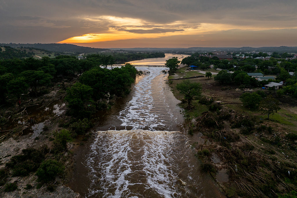
As for why Hill Country rivers tend to rise too quickly, the answer has less to do with how much rain falls in the area and more to do with where it lands and the unique landscape that defines the region.
Here’s what the experts say.
The Texas Hill Country lies along a corridor known as “Flash Flood Alley,” one of the most flood-prone areas in the United States, according to Texas A&M’s Texas Water Resources Institute. On the night of July 4, 2025, portions of the Guadalupe River rose between 26 and 37 feet within less than an hour.
Kerr County Engineer Charlie Hastings, who died suddenly in March 2026, called the natural disaster an “inland tsunami” that killed more than 100 people, caused millions of dollars in property damage and left intense destruction along the river.
According to experts, the region’s natural characteristics often combine to create dangerous flooding conditions, including drought, dry soil, steep terrain and hilly valleys that contribute to intense runoff during heavy rainfall events.
Data from NASA indicate that the July 4 flood was the sixth-deadliest freshwater flooding disaster in the United States. In an analysis of the events that led to the Texas flood, the agency states that much of the Texas Hill Country sits on thin, rocky soils and extensive limestone beds, which act as a barrier, preventing water from draining through the ground.
As ongoing drought conditions persist across the region, drying out the soil, it’s even more difficult for water to be absorbed into the ground.
“Even in average rainfall events, this characteristic leads to impressive runoffs and rapid rises in creeks,” the agency shared.
During storms, water flows down the region’s rolling hills, “funneling” into low-lying valleys and rivers. Paired with extreme rainfall, the steep terrain and non-absorbing soil leave the region primed for flooding that can occur within minutes.