
The National Weather Service is warning of major hazards that storms developing over parts of Texas on Wednesday, July 1, could produce. A system is barreling toward the state’s northern region and could create dangerous road conditions this afternoon.
Forecasters at the agency’s Amarillo office are monitoring the northeastern Panhandles, where they say the environment has become overworked and a pocket of cold air is exiting the area. It’s paved the way for thunderstorms to occur just before folks hit the road for their evening commute.
Currently, Boise City and Guymon are at a level 2 out of 5 risk of things turning severe. Amarillo, Beaver, and several other of their surrounding towns are at level one.
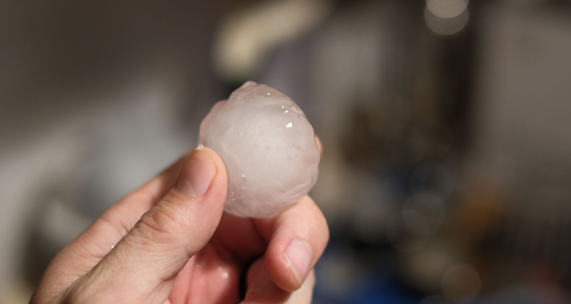
Residents should ensure their weather alerts are enabled because meteorologists say the storms could produce half-dollar-sized hail measuring 1.25 inches and 75 mph wind gusts. There is a low, but still present possibility of a tornado forming, the NWS says.
The most likely time storms could begin is 3 p.m., according to the NWS. They could last intermittently through 11 p.m. Flash flooding could occur in some parts of the Panhandle if rounds of storms pass over the same counties. Recent rainy days have already left some neighborhood soils saturated, so additional rain could worsen the situation, per the NWS. Meteorologists say if it does occur, it would be most noticeable between 2 p.m. Wednesday and 1 a.m. on Thursday, July 2.
Come Saturday, July 1, another threat enters the picture: heat. The agency is expecting high temperatures in the 100s, “which will mean those who do not have adequate cooling or hydration” will be more prone to heat-related illnesses.
Forecasters are reminding Texans to stay cool, wear lightweight, light-colored clothing, and, if possible, avoid strenuous physical activity while the sun is out.