
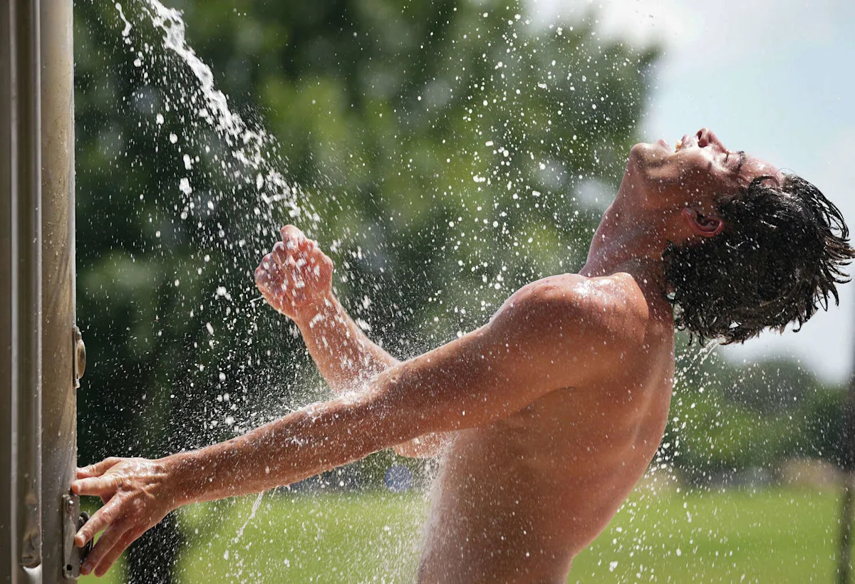
Texas will celebrate the Fourth of July holiday with typical summer heat in place, as afternoon temperatures flirt with the 100-degree mark across much of the state.
However, the Lone Star State won’t necessarily be the hottest spot in the country. Several cities – especially across the eastern United States – are expected to run even hotter as Americans mark the holiday weekend celebrating the nation’s 250th birthday.
Central Texas holiday forecast
While a large area of high pressure is positioned over the Ohio Valley, the Lone Star State is still being influenced by it, with return air flow on the backside of the clockwise-turning high pushing Gulf moisture into Texas.
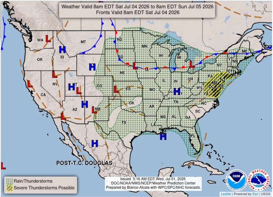
Forecast map for the contiguous United States on Saturday. Texas will be sandwiched between two high pressure systems on July 4. (Weather Prediction Center)
On Friday, the weather pattern repeats, with a cloudy morning giving way to partly to mostly sunny skies in the afternoon. High temperatures will reach the upper 90s, but it will feel more like 101 to 103 degrees. With daytime heating, a few showers or isolated thunderstorms remain possible across the Coastal Plains, with activity drifting toward the Interstate 35 corridor, from 2 p.m. to 8 p.m.
On Saturday, the setup remains similar to recent days, with Texas positioned between two areas of high pressure, one to the east and one to the west, and some unsettled weather in between, especially along the West Texas dry line separating dry and humid air masses.
The morning will be quiet and mostly cloudy, which should make the weather a bit more manageable for local Fourth of July parades. By the afternoon, the best way to stay cool will be to move indoors or find a spot near water. Afternoon temperatures will climb into the upper 90s to near 100 degrees, with overnight to predawn temps in the upper 70s.
If you are planning to celebrate the Fourth of July outside for an extended period, just remember your heat safety tips. Despite the lack of triple-digit heat locally, humidity will certainly make it feel like 100-degree weather. Fireworks should be able to go off without any weather-related issues, as mostly dry conditions will continue through the evening.
Rain showers and isolated thunderstorms may make an appearance on Sunday and Monday, with a current 10% to 20% chance.
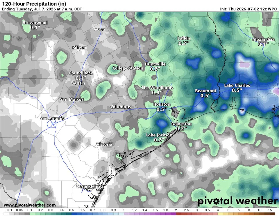
Spotty showers are possible next week with heavy downpours but they will be very isolated. (Pivotal)
“Low confidence is in place as far as shower activity during that period,” meteorologists at the National Weather Service wrote in their daily forecast discussion. “However, both GFS and ECMWF (forecast models) bring showers and storms over the local area on Sunday, but locations and timing differ.”
Some lingering showers are possible early next week before a subtropical ridge of high pressure builds back over the region for the remainder of the week, bringing a return to hot and dry weather.
This article originally published at Austin stays dry, but will nearby areas across Central Texas see rain for the holiday?.