
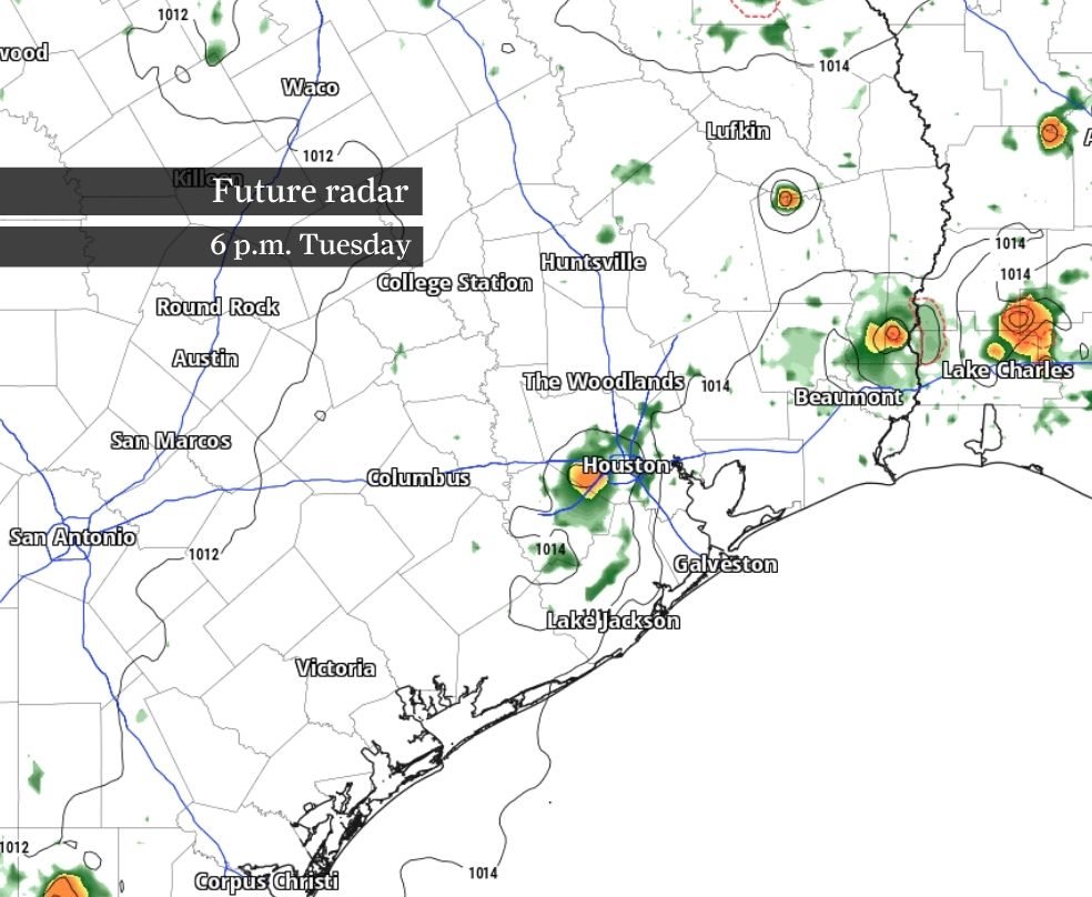
Tuesday brings Houston one last round of scattered storms before Saharan dust ushers in hotter, hazier weather by midweek.
Heavy rainfall and frequent lightning are possible in any storm that develops Tuesday as the afternoon sea breeze moves inland. Afterward, rain chances fade once drier air spreads into Southeast Texas. Look for hazier skies before more widespread showers could return this weekend.
Tuesday offers beneficial showers for many, but not everyone.
A weakening upper-level atmospheric disturbance will keep the best chance for scattered showers and thunderstorms north and east of Houston, especially toward the Piney Woods. The afternoon sea breeze could still trigger a few spotty downpours closer to the coast, mainly south of Interstate 10, while much of the region stays dry.
Any storm that develops could produce brief downpours, lightning and gusty winds before fading. Rain chances taper off Wednesday as slightly drier air settles over Southeast Texas ahead of a plume of Saharan dust expected later in the week.
By Thursday, a plume of Saharan dust is expected to spread into the region.
The dust often produces colorful sunrises and sunsets, but it can also create hazy skies and reduce air quality, particularly for people with asthma or other respiratory problems. Houston could briefly slip into the “moderate” category of the Air Quality Index, meaning that those with unusually sensitive respiratory systems may notice the effects.
Along with hazier skies, Saharan dust should further suppress local thunderstorm development and help keep the Atlantic basin quiet by limiting opportunities for tropical development.
Afternoon temperatures will remain in the mid- to upper 90s all week, but humidity will push heat index values, or “feels like” temps, closer to the threshold for the National Weather Service to issue a heat advisory. Such an alert is issued to warn the public of an increased risk of heat-related illnesses, including heat exhaustion and heatstroke.
Even so, the forecast becomes more complicated heading into the weekend. A return to more widespread showers and thunderstorms could temporarily knock temperatures down in some neighborhoods, while others continue to flirt with dangerous heat.
For the heat and humidity in Southeast Texas to trigger a heat advisory may ultimately depend on where and when those late-week storms develop — a reminder that Houston’s summer forecast is rarely one-dimensional.