
Thursday brings one more typical summer day of sunshine, isolated afternoon storms and highs in the mid-90s before a much wetter pattern settles in. A surge of tropical moisture, combined with an upper-level atmospheric disturbance, will increase rain and storm chances beginning Friday and continuing into next week. Expect periods of dry weather between rounds of thunderstorms as the wetter pattern brings increasing opportunities for soaking rainfall through the weekend.
Spotty downpours will develop first along the coast during the morning. By the afternoon, the sea breeze should bring storms closer to Houston as temperatures rise. Coverage will remain limited because moisture levels are temporarily lower.
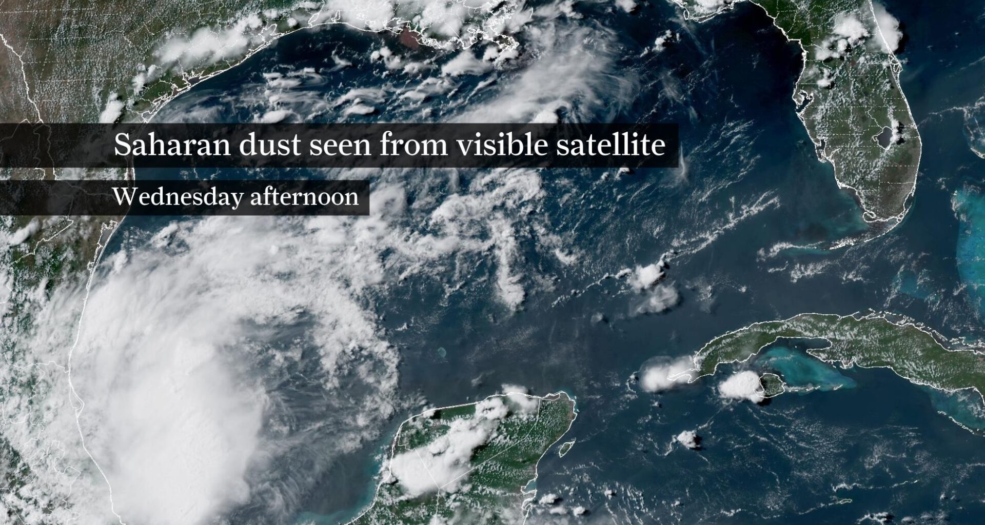
The Saharan dust could also produce hazier skies and more vibrant sunrises and sunsets. The dust won’t have much of an effect on temperatures, which will climb into the mid- and upper 90s. Combined with high humidity, afternoon heat index values, or “feels like” temperatures, will reach between 100 and 107 degrees.
The forecast becomes much more active beginning Friday as deep tropical moisture streams inland. Combined with an upper-level atmospheric disturbance, it will support scattered to widespread showers and thunderstorms through the weekend and likely into next week.
Rain chances climb to 40% to 60% each day, meaning most communities should expect at least one round of rain, if not more. Exact totals will vary depending on where thunderstorms repeatedly develop, but widespread amounts of 1 to 3 inches appear likely through the weekend. Localized totals of 4 to 6 inches are possible where storms repeatedly track over the same areas.
The added cloudiness and rainfall should shave a few degrees off afternoon temperatures early next week, although it will remain humid. Even with slightly cooler afternoons, any breaks in the rain will still feel muggy, making it another classic Southeast Texas summer pattern — just with much better odds for soaking rainfall.