
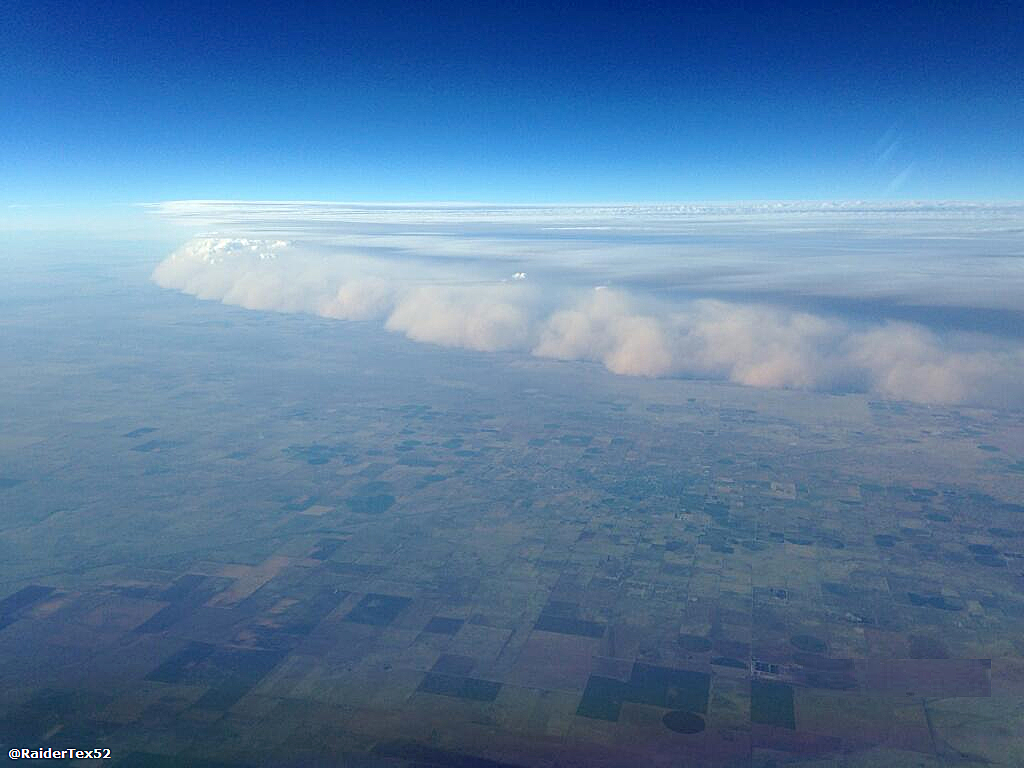
Residents out in the El Paso, Texas, area should get ready, as a haboob may be headed their way this weekend. High pressure over the southwest, along with available moisture at the mid and upper levels of the atmosphere, plus dry and hot conditions at the surface, mean conditions are ripe for strong wind gusts and blowing dust from storms, according to the National Weather Service in El Paso.
At a result, people in southwest New Mexico and El Paso could experience periods of reduced visibility and even a haboob (or blowing, intense dust storm) on Friday and Saturday afternoon. For the uninitiated, a haboob is a type of dust storm that typically forms when cold air from a thunderstorm rushes down, causing high winds at the surface to lift dust into the air.
By Sunday, the center of the dome is expected to have drifted over the northern plains, and the possibility for a haboob will be replaced by an increased likelihood of thunderstorms. Cooler temperatures and cloudiness will take over into Tuesday, before the area of high pressure expands and brings drier air back into the region.
El Paso isn’t the only Texas city carrying the potential for severe weather this weekend.
Hail may hit Amarillo and the northern panhandle Friday afternoon into the evening. However, this probability relies on more established updrafts, which are more common in stronger storms. The hail could be slightly larger than a quarter.
The National Weather Service in Amarillo said the much more likely hazard Friday is damaging wind gusts over 70 mph at times.
This is looking like the end of a line of storms that started Wednesday evening, bringing strong winds, frequent lightning, heavy rain and the possibility for hail.
Houstonians are getting the best end of the deal, though, as cloud cover and rain chances early next week are expected to keep high temperatures in the mid-80s to low-90s, a few degrees below normal for this time of year.