
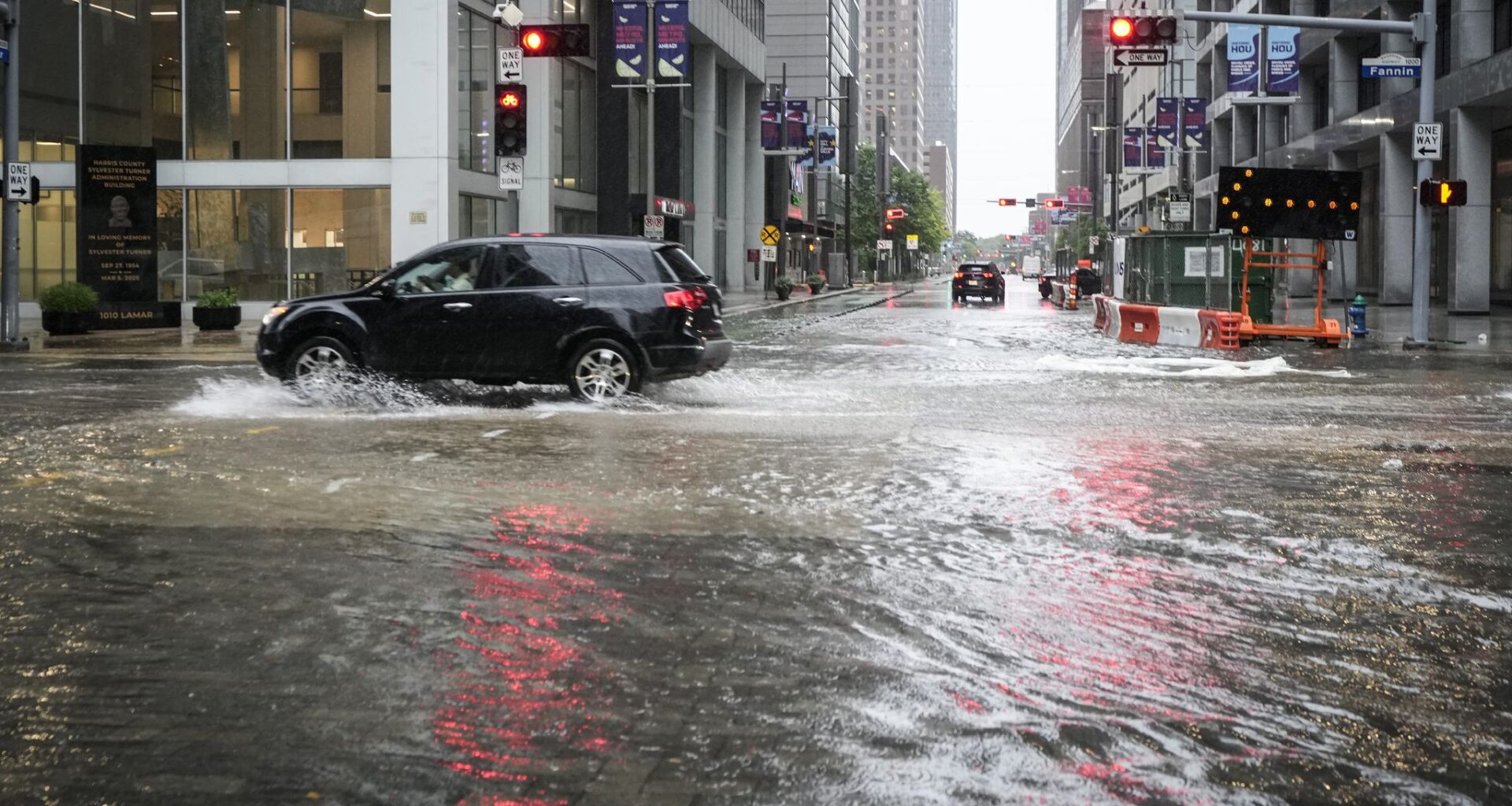
That active weather pattern is expected to continue over the next few days, resulting in a rising threat of flash flooding through the first half of the week. The wet weather, though, will keep the summer heat at bay, as temperatures are likely to be below-average through the first half of the week. Here’s what you can expect.
A warm and muggy start is expected in Houston on Sunday, with temperatures sitting near 80 degrees from 5 to 8 a.m. A few showers and thunderstorms are also possible, but activity will be isolated, with only a 20% to 30% chance of rainfall during the morning hours.
Temperatures will rise steadily through the middle of the day, likely reaching the upper 80s by 10 a.m. before afternoon highs top out at around 92 degrees. Humidity levels will stay elevated, resulting in “feels like” temperatures up to 102 degrees.
Daytime heating will result in additional storm development by the early afternoon, with rain chances rising to around 50% in the Houston metro area. The best chance of rain on Sunday will occur between 1 p.m. and 6 p.m.
A few slow-moving tropical downpours could bring isolated flooding, prompting the National Weather Service to place southeast Texas under a level 1 of 4 risk of excessive rainfall on Sunday. However, due to the scattered nature of Sunday’s storms, rainfall totals are expected to stay on the lower side for much of the area.
By Monday, storm chances will rise higher as high atmospheric pressure shifts farther away from Southeast Texas. Houston will have about a 50% chance of showers and storms during the morning hours, with chances rising to around 80% by the afternoon and evening.
The risk of flooding will increase significantly on Monday, with the weather service placing much of Southeast Texas being under a Level 2 of 4 risk of excessive rainfall. Additional rounds of off-and-on rainfall may stay possible into the overnight hours and through Tuesday morning.
The active weather will result in cooler temperatures on Tuesday, with highs expected to top out in the mid- to upper 80s, about 5 to 7 degrees below average for mid-July. However, low temperatures will generally be unaffected, only falling into the upper 70s during the morning.
How much rain? Through Wednesday, Houston is projected to see between 1 and 2 inches of rain, according to the National Blend of Models. However, isolated higher totals of up to 4 inches may be possible in some spots. Be sure to stay with houstonchronicle.com/weather as the forecast details become more clear.
During the second half of the week, a transition to some drier and warmer weather is anticipated as high pressure strengthens across the area. A few scattered showers and storms will stay possible, but overall chances will dip to around 20% Wednesday through Friday as temperatures rise back to the mid-90s.