
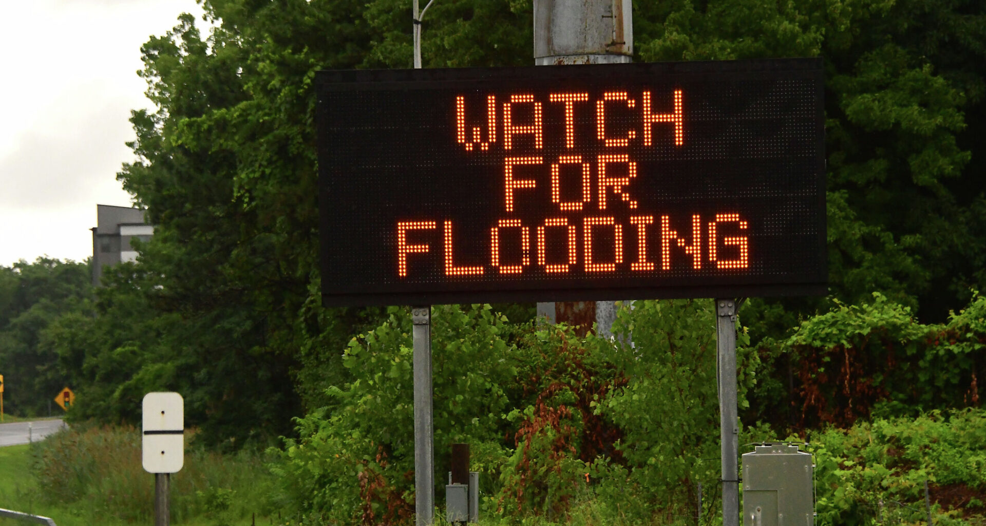
The warning includes the following towns, per the NWS: Fort Worth, Arlington, Grand Prairie, Mansfield, Euless, Bedford, Grapevine, Haltom City, Keller, Hurst, Southlake, Watauga, Colleyville, Benbrook, Saginaw and White Settlement. It remains in effect until 8:45 a.m.
“The highest coverage is expected to shift into Central Texas by Monday afternoon,” NWS forecasters said. “Remember to never drive into water of unknown depth. Turn around, don’t drown.”
There is a 60% chance of rain before 10 a.m., so low-water crossings and ponding on roadways are a concern and could lead to traffic delays during the morning work commute.
“Minor flooding of poor drainage areas and low-lying spots is likely elsewhere as heavy rain moves through,” the NWS added in a post on X.com.
Meteorologists say other hazards to watch for include gusty winds, hail, and frequent lightning. On the bright side, the storminess will cool down the region. Highs will range in the upper 80s, and lows will dip to around 70 degrees after sunset. A 20% chance of rain remains during the evening hours.
Locals won’t be out of the clear until later this week. The flood threat shifts south on Tuesday, July 14, according to forecasters. Hail, strong winds, and lightning-rich storms are still in the forecast for the Dallas-Fort Worth area and some of its counterparts. Rain chances become less relevant after Wednesday, July 15, when afternoon highs will gradually return to the mid and upper 90s.