
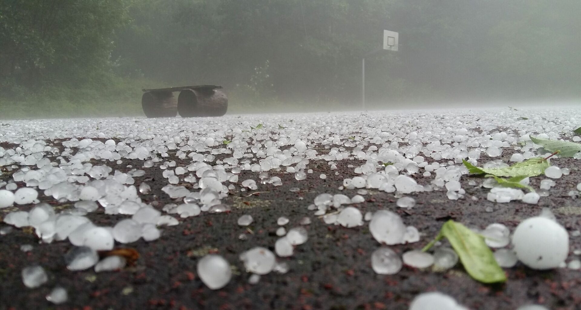
The rare July cold front we warned you about is starting have a big impact on Texas towns. Flash flood watches spanning several days, threats of hail and damaging winds and inches of rain are all on the horizon for the Lone Star State as cold air barrels across Texas, shooting off a northern U.S. heat dome.
Major metros across the state are in for a bumpy ride this week as storm odds skyrocket and plague the weekly forecast through the weekend. It’s all part of a massive system sweeping the Southern Plains.
“On the other hand, near the western end of the front, a heavy rain event is forecast to emerge across the Hill Country to the Big Bend regions of Texas over the next couple of days,” the National Weather Service Weather Prediction Center’s short-range forecast warns. “Please stay tuned to future updates on this upcoming heavy rain event.”
This means prolonged pockets of heavy rain from Dallas to San Antonio. While this cold front won’t produce fall-like temperature drops, afternoon highs across the state should dip about 5 degrees as storm clouds blanket the state.
In North Texas, namely the Dallas-Fort Worth metroplex, abnormal pockets of heavy rainfall could douse the area in as much as 3 inches per hour. Flash flooding risks spike Tuesday, July 14, and a strong to severe wind and hail threat looms over the metro area through Wednesday morning, according to the National Weather Service Dallas-Fort Worth office.
While hail and wind threats decrease by midweek, thunderstorm chances continue to plague DFW throughout the week. And it’s a similar story all the way down to San Antonio, where a flash flood watch has been issued through Thursday evening, July 16.
Most areas impacted by this rare summer cold front and its heavy rains are expected to see between 2 and 6 inches of rain, but some areas could be slammed with up to 10 inches. Though CBS Austin meteorologist Avery Tomasco says it’s not all bad news.
“Rounds of storms will drop 1-3” of rain locally with isolated totals over 6” possible. Bad news? A few instances of flash flooding will be possible,” Tomasco predicts. “Good news? It’s not coming all at once. We’ll have multiple rounds of storms between now and Thursday morning which should be spaced out enough to limit any significant river flooding like we had in July of 2025.”