
The heaviest rainfall is expected across parts of Central and Southwest Texas. Current forecasts show Del Rio, Uvalde, Hondo, Rocksprings and Kerrville could receive between four and nine inches of rain through the next seven days, according to the National Oceanic and Atmospheric Administration’s (NOAA) Weather Prediction Center (WPC).
Several other communities are also expected to pick up measurable rainfall, though in lower amounts. Forecast totals currently show Austin, San Antonio, New Braunfels, Boerne, Gonzales, Pleasanton and Hallettsville could receive between one and four inches over the same period.
The Weather Prediction Center warned Monday evening that life-threatening flash flooding is possible through Thursday across parts of southwestern and south-central Texas.
“Heavy rain (4–8″+) could trigger rapidly rising rivers and dangerous flooding,” the WPC said in a social media post.
Intense rainfall rates between two to four inches per hour are possible. Meteorologists are warning Texans to plan ahead and to avoid travel and recreation in vulnerable areas.
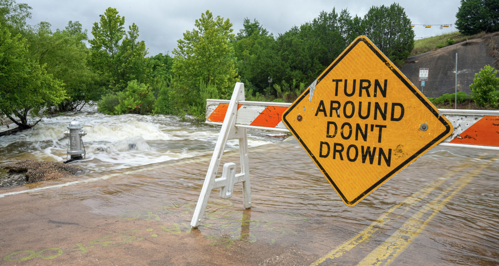
“Be especially cautious at night,” the WPC wrote. “If flooding is encountered while driving, turn around, don’t drown.”
Earlier Monday, Gov. Greg Abbott said Texas had activated emergency response resources ahead of the anticipated heavy rainfall, including rescue boats and Black Hawk helicopters. Abbott said that the state stands ready to deploy the Texas National Guard and the Texas Department of Public Safety, if needed, over the coming days.
As the forecast continues to develop, Texans across much of the state are preparing for an increased risk of flash flooding and excessive rainfall. Storms moving through parts of the state Tuesday could also produce frequent lightning and gusty winds.