
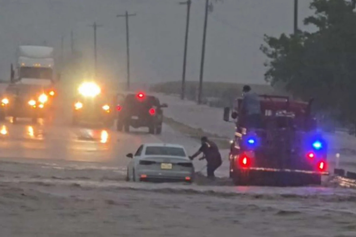
For the first time in several years, the National Weather Service is issuing a high risk of excessive rain in South Central Texas, likely affecting areas west of San Antonio. A Level 4 risk assessment is unusual for the national weather forecaster, and it paints a harrowing picture of storm impacts in cities and towns near the Alamo City.
National Weather Service meteorologists confirmed with MySA that a Level 4 high risk of excessive rainfall will be issued for areas west of San Antonio, though the exact location or timing was not immediately available. However, the latest data from the Weather Prediction Center shows that towns from Castroville to the Texas-Mexico border fall within this high-risk zone. This comes as 10 to 15 inches of rain have already been reported in some areas of South Central Texas, and forecasters warn that another torrential downpour is on the horizon.
“Get to high ground now ❗️ – A 500 year flood is getting underway for areas between Del Rio and San Antonio, Texas. More than a foot of rain has already fallen, and this area is now under a rare high risk,” said Fox San Antonio meteorologist Brad Sowder on Facebook.

A rare Level 4 of 4 high risk of excessive rainfall has been issued in South Central Texas. (Courtesy of Weather Prediction Center/NWS)
“It’s been more than a few years,” a meteorologist with the National Weather Service San Antonio-Austin office told MySA when asked when the last high-risk was issued in the region. “We have a flood watch out, and that’s not going to change, but we might change the numbers in it about how much rain we get.”
The agency had already been warning of potentially life-threatening rainfall totals and flooding. With the highest possible rainfall totals across forecasting agencies skyrocketing since Tuesday, the risks are rising. ABC Austin meteorologist Avery Tomasco says the latest data he pulled suggests another 10 to 20 inches could accumulate between Tuesday night and Wednesday evening.
AccuWeather meteorologists are also sounding alarm bells about late-night Tuesday storms, saying their highest-rain-total models show up to 24 inches around San Antonio and the Texas Hill Country.
A high risk for excessive rainfall means the National Weather Service Weather Prediction Center expects widespread flash flooding. The agency issues this risk level when severe, widespread flash flooding is expected, including areas that don’t normally experience it.
“Lives and property in greater danger,” a risk level chart states.
This article originally published at Meteorologist warns ‘500-year flood’ is unfolding near San Antonio.