
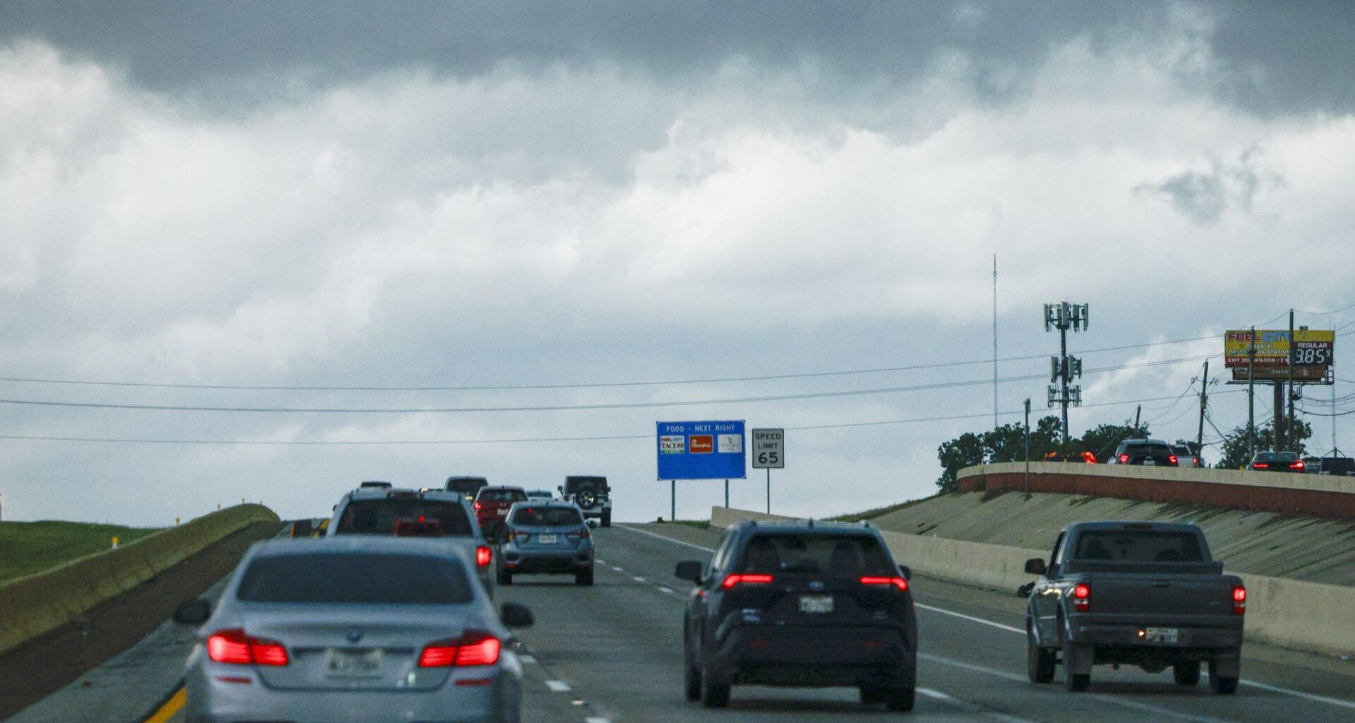
Sara Barnes of the National Weather Service’s Fort Worth office previously explained to The Dallas Morning News that the pattern of storms causing this excessive rainfall could last through Wednesday. With that, comes a slight risk of flash flooding.
Precipitation chances are set to pick up around 10 a.m. at 36%, rising through the afternoon to reach a peak of 48% around 4 p.m., according to the weather service.
High humidity and a slight breeze can also be expected.
Non-severe thunderstorms will continue into Thursday, the weather service said. Temperatures will remain cooler, with an anticipated high of 90 degrees.
On Friday, the chance for storms and showers begins to decline, with a 19% chance of precipitation expected. According to the weather service, Saturday and Sunday are set to be dry.
With the disappearance of rain from the forecast will come the return of high temperatures. By Monday, Dallas-Fort Worth temperatures could be back in the triple digits, according to the weather service.
THURSDAY: Partly cloudy with a 30% chance of isolated storms. Low: 74. High: 91. Wind: S 5-10 mph.
FRIDAY: Partly cloudy and very warm. Low: 76. High: 93. Wind: S 10-15 mph.
SATURDAY: Mostly sunny and seasonably hot. Low: 78. High: 96. Wind: S 10-15 mph.
SUNDAY: Mostly sunny and hot. Low: 79. High: 99. Wind: S 10-15 mph.
MONDAY: Mostly sunny and hot. Low: 79. High: 99. Wind: S 10-15 mph.