
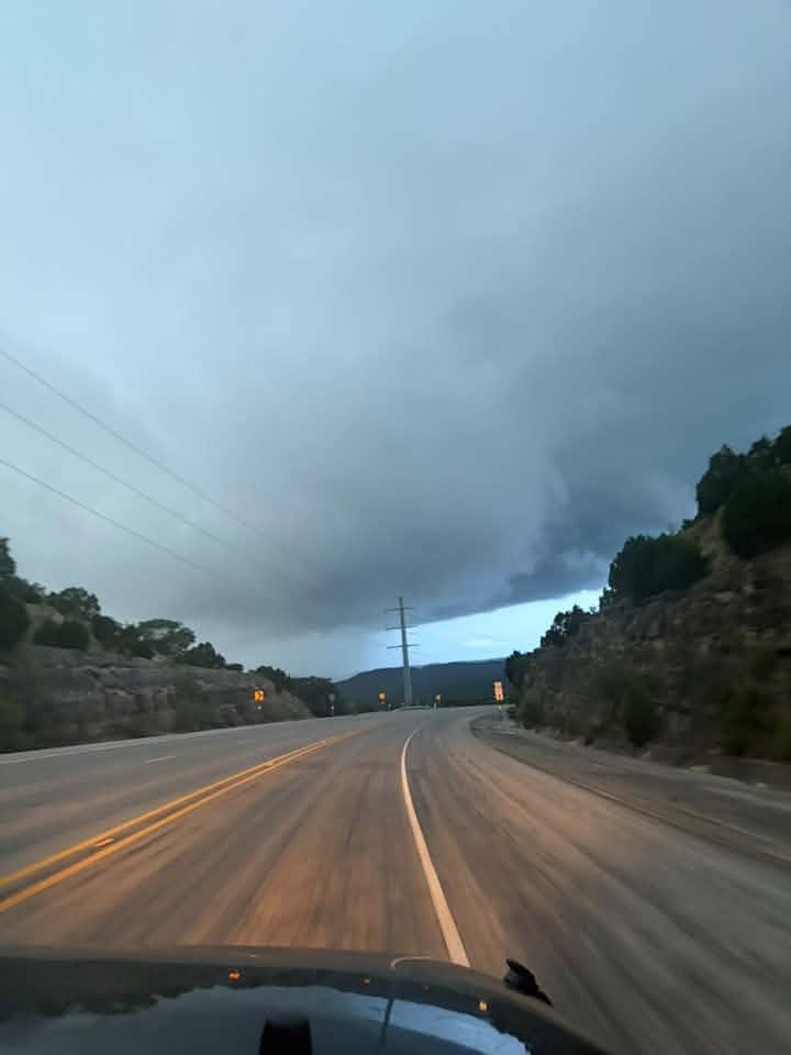
Texas, prepare for heavy rain. Storms will continue forming over San Antonio, Austin, and farther west near Uvalde on Wednesday, July 15. The National Weather Service (NWS) says pockets of 10 to 20 inches of rainfall are possible, and life-threatening flooding conditions are likely.
Flood Watch: The Edwards Plateau, Rio Grande Plains and the I-35 corridor remain under a Flood Watch until Thursday, July 16, according to the NWS’s latest situational update. The watch includes Kerrville, Fredericksburg and Georgetown.
The agency issues a Flood Watch when conditions are favorable for flooding. It indicates a possibility, not an absolute or active event. Conditions can change quickly, so residents in these towns should stay alert, enable mobile weather emergency notifications and avoid unnecessary travel. Never attempt to travel through high water: Turn around, don’t drown.
Flood Warning: The agency issued a Flood Warning for the Nueces River at Laguna, affecting Uvalde County. It is in effect until the morning of Thursday, July 15. A Flood Warning means flooding is imminent or already occurring.
Until 7 a.m. Wednesday, Uvalde is at a high level 4 out of 4 risk of excessive rain leading to flash flooding. The Alamo City and several of its neighbors, including Rocksprings, Boerne and Del Rio, face a level 3 out of 4 risk from 7 a.m. Wednesday through 7 a.m. Thursday, according to the NWS.
There is an 80% chance of rain and thunderstorms developing over San Antonio after 10 a.m. Wednesday. The systems could produce new rainfall amounts ranging from a quarter to a half an inch.
More than 10 inches of rain have already plagued parts of the region this week, meaning low-lying areas will be especially prone to flooding. Meteorologists warn that locally catastrophic flash flooding is likely. Many people are vacationing in and near the San Antonio region due to the summer season, so Texans should make sure they and their loved ones stay informed, the NWS wrote in its situational update report.
You may wake up in the middle of the night to thunder. There is about a 70% chance of showers and storms just after 4 a.m., meteorologists say. Wind gusts could reach up to 10 mph on Wednesday, making it feel chillier than normal. The high will be around 82 degrees, per the NWS.