
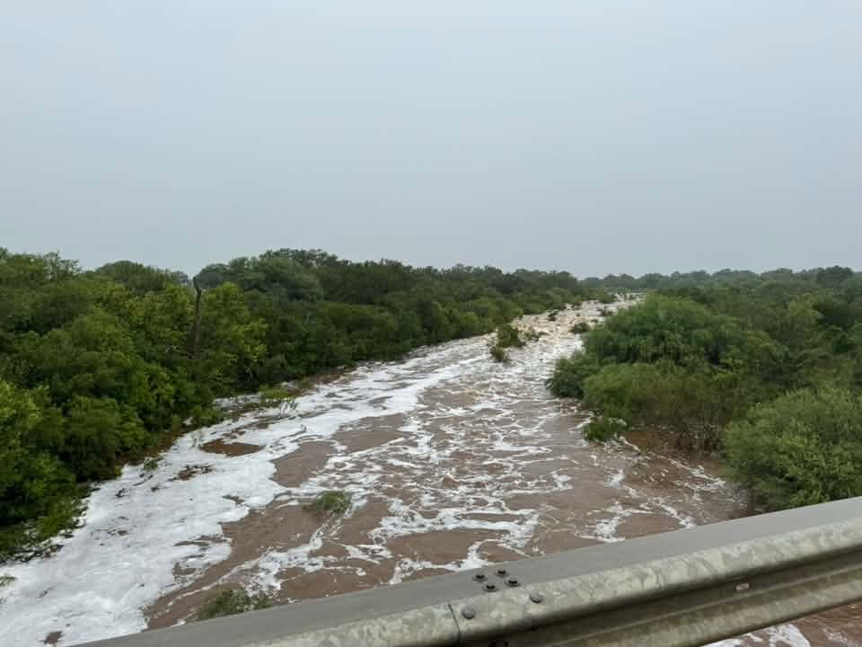
The city of Eagle Pass has declared a state of disaster after several inches of rain deluged the border city on Tuesday, July 14, with as much as 10-20 inches of rain expected to fall on Wednesday. It’s part of a larger severe weather system blanketing South Central Texas.
“The heavy rainfall and flooding have caused and continue to cause dangerous conditions throughout the City… these conditions present an imminent threat of widespread or severe damage, injury, loss of life, and property damage,” reads the disaster declaration.
A wide swath of the Edwards Plateau and Rio Grande Plains is currently under a flood watch with “pockets of 10 to 20 inches of rain (expected) in this area,” according to the National Weather Service. The entire border region, including Eagle Pass and Del Rio, is under a Level 4 risk of catastrophic flooding. Heavy rains are expected to continue all day Wednesday and into Thursday during “multiple rounds of storms.”
The rain is expected to impact rivers throughout the region, including the Rio Grande, which could experience “mainstem river flooding,” the National Weather Service in San Antonio said. That, in turn, will likely lead to downstream flooding even in areas that do not get deluged by rain.
On Tuesday afternoon, Maverick County officials activated the county’s emergency operations center in anticipation of the worsening weather conditions as a massive weather system dumped dozens of inches of rain across South Central Texas, flooded major highways, and began to spawn tornadoes eastward in San Antonio on Wednesday morning. While forecasters predict that the Eagle Pass and Del Rio area will be in the bullseye for some of the heaviest precipitation, Eagle Pass officials had already closed several major roadways across the city on Tuesday due to flooding or expected flooding.