
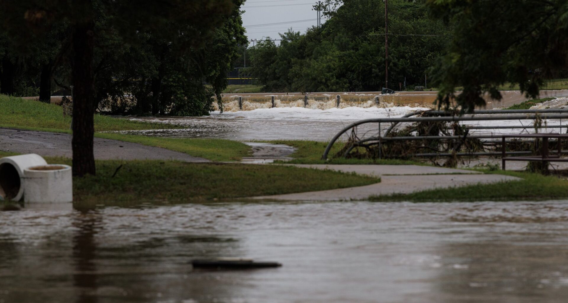
Much of this rainfall is draining into rivers across the region, including the Nueces, Frio, and Sabinal rivers, all of which are now projected to reach major flood stage by Wednesday afternoon or evening.
Nueces River: As of 10:30 a.m. Wednesday, the West Nueces River near Brackettville has already hit major flood stage. Much of this water will flow eastward into the main branch of the Nueces River, causing dangerous flooding along its path.
The Nueces River, just southwest of Uvalde, is expected to reach major flood stage by 7 p.m. Wednesday evening. Then, the river could rise by an another 7 feet overnight, reaching a crest of 24.3 feet between midnight and 3 a.m. If that occurs, it would be the second-highest crest ever recorded for this portion of the river.
Frio River: Also in Uvalde County, the Frio River is already nearing minor flood stage as of 11 a.m., and it is expected to continue rising over the next several hours. Major flood stage (15 feet) is expected to be reached just after noon before cresting at 17.5 feet by 4 p.m. Wednesday.
According to the National Oceanic and Atmospheric Administration, this level of flooding can threaten recreation camps from Rio Frio to near Concan. If turbulent river flow reaches these campgrounds, recreational vehicles, automobiles and gear can easily be swept downstream.
Sabinal River: Just to the east of the Frio River, the Sabinal River has already reached a height of 18 feet, as of 11 a.m. Wednesday. That is already at moderate flood stage, but the river is expected to rise by more than 15 feet, reaching a crest of 33.4 feet by 6 p.m. That’s more than 9 feet above major flood stage.
If this forecast verifies, it would be the third-highest crest ever for this section of the Sabinal River and the highest it’s been since 2002.
At this level, disastrous flooding is possible upstream near Utopia, especially at the “Utopia on the River” camp headquarters, where automobiles may be washed into the river. Camping sites south of Utopia may also become dangerously flooded. Secondary and primary roads near the river also may be flooded by several feet of fast-moving water.
Cibolo Creek: The National Weather Service was reporting that the gauge along Cibolo Creek near Boerne was showing a stage height of 21.56 feet. That reading would exceed the crest of record of 19.83 feet that was recorded in May 2015. Boerne itself has gotten more than 4 inches of rainfall Wednesday. Cibolo Creek affects other areas downstream, including Selma and La Vernia.