
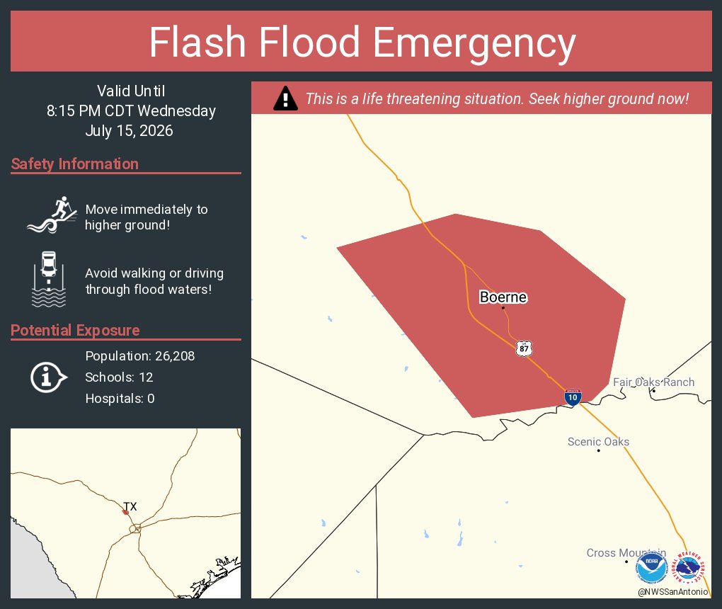
Major flash flooding is ongoing in the city of Boerne and across parts of southern Kendall County. That has prompted the National Weather Service to issue a flash flood emergency for the region. The warning will stay in place through at least 8:15 p.m. Wednesday evening.
A flash flood emergency is an enhanced type of flash flood warning issued when a historic or catastrophic flooding event is occurring or is imminent. These situations pose an extreme threat to human life and can lead to catastrophic damage.
Between 4 and 12 inches of rain have fallen in the area, and additional rainfall amounts of 1 to 4 inches will be possible in the warned area.
“Flash flooding is already occurring,” the National Weather Service said in a statement. “High water rescues are in progress and some people are stranded.”
The weather service continues “This is a PARTICULARLY DANGEROUS SITUATION. SEEK HIGHER GROUND NOW!”
Life threatening flash flooding is expected across low water crossings, small creeks and streams, urban areas, highways, streets and underpasses.
As of noon Wednesday, Cibolo Creek near Boerne has risen to a stage height of 21.56 feet. This exceeds the record crest of 19.83 ft that was recorded in May 2015.
D’Hanis flooding on Seco Creek: The weather service also issued a flash flood emergency for D’Hanis in west-central Medina County until 8:30 p.m. Wednesday.
Around 12:45 p.m. emergency management reported flash flooding in D’Hanis, where 4 to 10 inches of rainfall has occurred, the weather service said. Another inch of rainfall is possible in the warning area and Seco Creek is rising rapidly.
“Those in flood-prone areas along the creek are asked to move to higher ground immediately.” forecasters said in issuing the flood warning.