
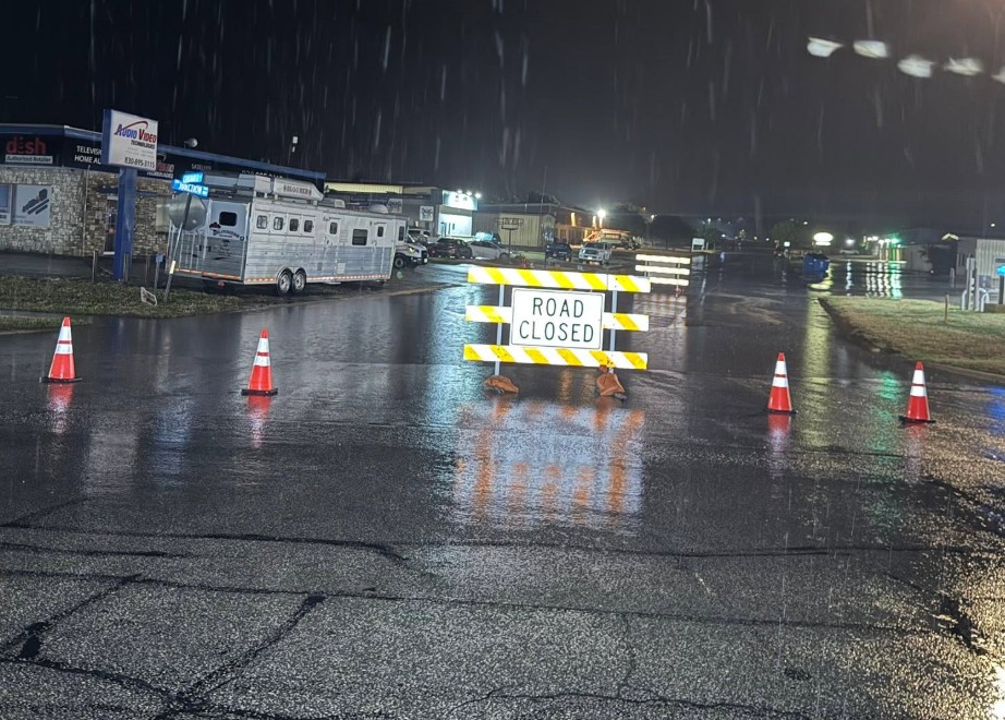
Storms continued to slam South Central Texas overnight, bringing roughly 16 inches of rain to areas west of San Antonio. On Wednesday, July 15, the National Weather Service (NWS) expanded Flash Flood Warnings across the region, signaling that life-threatening flooding was occurring or imminent.
The NWS shared in a post at 7:41 a.m. on X.com that the warning zone now includes the following towns: Cross Mountain, Grey Forest, Helotes, Leon Valley, Castle Hills, Olmos Park, and Hollywood Park. Forecasters say it expires at 12:45 p.m. today.
“Some locations that will experience flash flooding include Devine, Castroville, Lytle, Natalia, Lacoste, Bader, Dunlay, Quihi, Noonan, Pearson, Rio Medina, New Fountain, Biry, Mico, Cliff, Lakehills, Government Canyon State Natural Area, Bigfoot, and Lake Medina Shores,” the agency wrote in its emergency alert.
Over the past 24 hours, 4 to 6 inches of rain have fallen across the region. Additional rainfall of 1 to 2 inches is possible in the warned area, and life-threatening flash flooding is ongoing or expected to begin shortly, agency officials say. Residents should immediately move to higher ground and avoid walking or driving through floodwaters.
A Flood Watch issued by the National Weather Service (NWS) remains in effect for the following counties until 9 p.m. on Thursday, July 16: Llano, Burnet, Williamson, Val Verde, Edwards, Real, Kerr, Bandera, Gillespie, Kendall, Blanco, Hays, Travis, Kinney, Uvalde, Medina, Bexar, Comal, Maverick, Zavala, Frio, and Dimmit.