
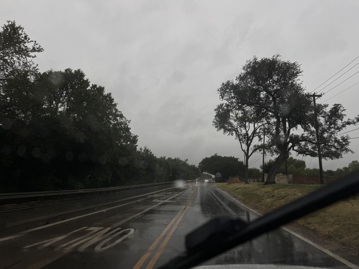
Storms barreled across South Central Texas this week, sparking flash flood emergencies in Bexar County and beyond. Photos from residents showed ponding in neighborhood streets, nearly overflowing rivers and tornado damage.
There is no chance of rain in the National Weather Service’s (NWS) forecast for the Alamo City on Friday, July 17. San Antonio is expected to remain dry through the middle of next week, according to the agency’s website. The high will be around 89 degrees during the day, while the low will be around 76 degrees, according to the NWS.
Flash flooding could still be widespread, especially west of San Antonio. Forecasters previously said Rocksprings, Kerrville, and Uvalde could see 2 to 6 inches of rainfall through 7 p.m. tonight. The NWS warns that the showers could be intense, producing 2 to 4 inches per hour.
Beginning at 7 a.m. today and continuing through 7 p.m. on Saturday, July 18, Rocksprings and Del Rio are at a level 2 out of 4 (slight) risk for excessive rain.
The NWS reports that San Antonio has received 8.24 inches of rain since showers began across the region on Sunday, July 12. The data comes from the NWS’s Citizen Weather Observer Program (CWOP) and Community Collaborative Rain, Hail, and Snow Network (CoCoRaHS). It reflects measurements recorded as of Thursday at 10:45 a.m. Residents in nearby towns such as Boerne and Cross Mountain recorded even higher totals.
Boerne recorded the highest listed total at 13.70 inches, followed by Timberwood Park at 12.12 inches and Fair Oaks Ranch at 10.50 inches, according to NWS data.
The full list with the CWOP and CoCoRaHS estimates for the San Antonio area is included below.