
EL PASO, Texas (KTSM) — The National Weather Service El Paso branch has issued a flash flood warning for the Sun City and Southern New Mexico on Monday, July 20.
The warning was issued shortly after 4 p.m. as the Doppler radar indicated thunderstorms and heavy rain across El Paso, Santa Teresa and Chaparral. The flash flood warning will last until 7:15 p.m.
A flash flood warning for the Las Cruces area is in effect until 7 p.m., and for Luna County, the warning is in effect until 8:30 p.m., according to the NWS.
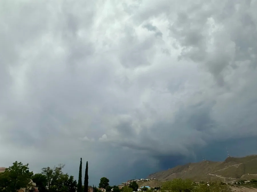
KTSM 9 News viewers shared their photos of the dark thunderclouds currently spanning across the Borderland.

Clouds seen over far East El Paso. Photo courtesy of viewer Gabe Prado.
KTSM 9 News Chief Meteorologist Robert Bettes issued a Weather Authority Alert through Monday night for potential strong thundershowers and heavy rainfall.
Weather Authority Alert: Heavy rain threat through Monday
Reading through your 9-Day Forecast, Monday is expected to be the last day of heavy rainfall, with potential raindrops on Tuesday.
The New Mexico Department of Transportation issued a road advisory for Las Cruces, Mesquite and Deming areas for wet roads, urging motorists to be cautious with heavy rainfall, difficult driving conditions and possible limited visibility.
NWS says up to 1.5 inches of rain has already fallen, and residents can expect an additional 0.5 inches of downpour.
“Turn around, don’t drown when encountering flooded roads. Most flood deaths occur in vehicles,” the NWS said.
Copyright 2026 Nexstar Media, Inc. All rights reserved. This material may not be published, broadcast, rewritten, or redistributed.
For the latest news, weather, sports, and streaming video, head to KTSM 9 News.