
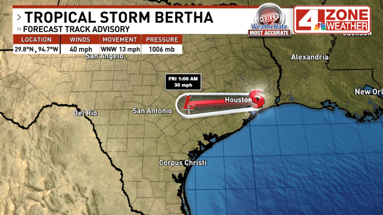
Tropical Storm Bertha is now down to 40mph winds and will continue to weaken to a weak area of low pressure this evening into Thursday night.
It is current 35 miles north of Galveston moving west to northwest. The storm remains very disorganized with only some scattered showers and occasional gusty winds in Southeast Texas.
The bulk of the rain is further down the coast from Port Lavaca to Corpus Christi.
Areas of rain will spread across South Texas but big tropical flooding rain is not expected. In our region, wind gusts between 20 – 30mph possible into tonight with scattered showers possible.
A isolated thunderstorm cannot be ruled out either. Rainfall in our region will range from .01″ to .50″ with some spots not even seeing rain.
RELATED | Tropical Storm Bertha strikes Texas coast near Louisiana in second landfall
System will keep us a little cooler Friday in the 90s then we begin a hot dry stretch into next week. The next name on the Atlantic Hurricane season list is Cristobal