
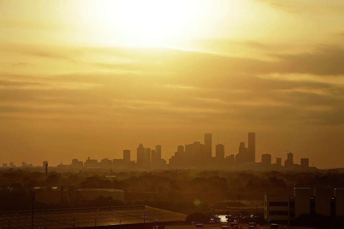
While Houston has seen its fair share of hot and humid days this summer, the overall weather pattern has not been too extreme. Since June 1, Houston’s average high temperature has been 92.3 degrees – about 1 degree below average for this point in the season.
Additionally, Houston has only experienced one day with triple-digit temperatures, rising to 102 degrees Wednesday afternoon.
However, after Tropical Storm Bertha brought slightly lower temperatures to the region late last week, the weather pattern is shifting once again. High pressure will develop across Texas this week, and it will bring triple-digit temps to much of the state, including the Houston metro area. Here’s what you can expect.
Sunday’s forecast
A mild and muggy morning is expected early Sunday as temperatures in Houston hover in the upper 70s to near 80 degrees through 8 a.m. With mostly sunny skies in place, temps will rise quickly, reaching the 90-degree mark just after 11 a.m.

Shown are the expected heat index values across the region at 4 p.m. Sunday afternoon (Pivotal Weather)
Afternoon high temperatures are expected to reach 96-98 degrees across the Houston metro area. Humidity levels will stay high as well, resulting in heat index values rising to as high as 108 degrees. If you plan on spending time outdoors, be sure to stay properly hydrated and take frequent breaks in air-conditioned spaces.
During the late afternoon, a few isolated showers or weak storms may develop along the coast and toward the Interstate-10 corridor. However, overall rain chances will only be at 10% to 20%, leaving the majority of the region without rainfall. For those that do see rain, totals are expected to be less than a quarter-inch.
Even hotter weather coming
As high pressure builds across the state, temperatures will continue to inch higher. On Monday, Houston high temperatures are likely to reach 98 to 99 degrees, as opening lows continue in the upper 70s.
By Tuesday, high temperatures are likely to reach 100 degrees in Houston, with heat index values up to 110 degrees also possible. In areas just outside of Houston – such as Katy, Pasadena, and Richmond – high temps may stick in the upper 90s.
The intense heat is expected to continue for the rest of the week, with high temperatures likely topping out at 101 to 102 degrees from Wednesday through Friday. Morning lows will also warm up slightly, only falling into the low 80s each morning.
Many parts of Texas will be even hotter, including North Texas, West Texas, and across the Panhandle. In the DFW metroplex, high temperatures are expected between 103 and 106 each day this week, likely coming close to record-breaking territory.
Any changes coming?
High heat is expected to continue into Saturday, with highs again over 100 degrees in Houston. However, by next Sunday and Monday, long-range models do show that high pressure may temporarily swing farther west, bringing an opportunity for a few scattered showers and thunderstorms
At this point, rain chances are still relatively low, near 30% to 40%. However, those chances could rise or fall as new weather model data becomes available. Be sure to stay updated to houstonchronicle.com/weather for daily updates.
Subscribe
There’s more to Houston with the Chronicle. Subscribe today for just 25¢.
This article originally published at Houston’s weather pattern is about to shift. Here’s how hot it will get..