
The final days of July are turning up the heat across Central Texas, with temperatures heading toward the triple digits and humidity making it feel even hotter. Heat index values once again might prompt the National Weather Service to issue heat alerts as we close out the month.
Thursday will start mostly cloudy before sunshine gradually breaks through by late morning, leaving us with mostly sunny skies by early afternoon. Winds will remain light from the south at 5 to 10 mph.
Afternoon temperatures will range from 99 to 102 degrees, but the heat will feel more like 103 to 108 degrees when you factor in the humidity.
A ridge of high atmospheric pressure over the Four Corners region in the southwestern United States will extend over the southern Plains and Texas, influencing our weather pattern through the rest of the work week. This means that the typical late-July heat will continue to include temperatures on either side of the 100-degree mark.
Friday’s weather will be like Thursday’s with some morning clouds giving way to sunshine and heat through the afternoon.
“Hot and dry to say goodbye to July and hotter and dry to welcome the month of August 2026 on Saturday,” meteorologists at the National Weather Service wrote in their daily forecast discussion for South and Central Texas. “Continued hot with increased moisture to bring heat index values into heat advisory criteria for areas along and east of Interstate 35 and Coastal Plains.”
Saturday will be the hottest day of the week with morning temperatures near 80 degrees and afternoon temps between 100 and 105 across Central Texas. Southwest winds will blow in, but they won’t bring enough dry air, so expect a humid day with heat index values topping 105 to 110 and maybe hotter in a few spots.
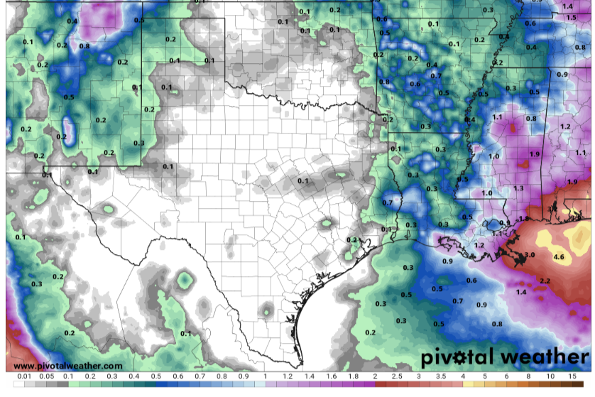
The heat dome of high pressure dominating our weather will make a slight shift west, which will open the door for a weak frontal boundary to push through the Lone Star State on Saturday night and into Sunday morning. This front may just be enough to produce isolated to scattered showers and thunderstorms.
The rain chance will be short-lived as the rain chance will dwindle by Sunday afternoon. Winds will shift to the north, and temperatures may drop a few degrees, with highs in the upper 90s to start the new week.