
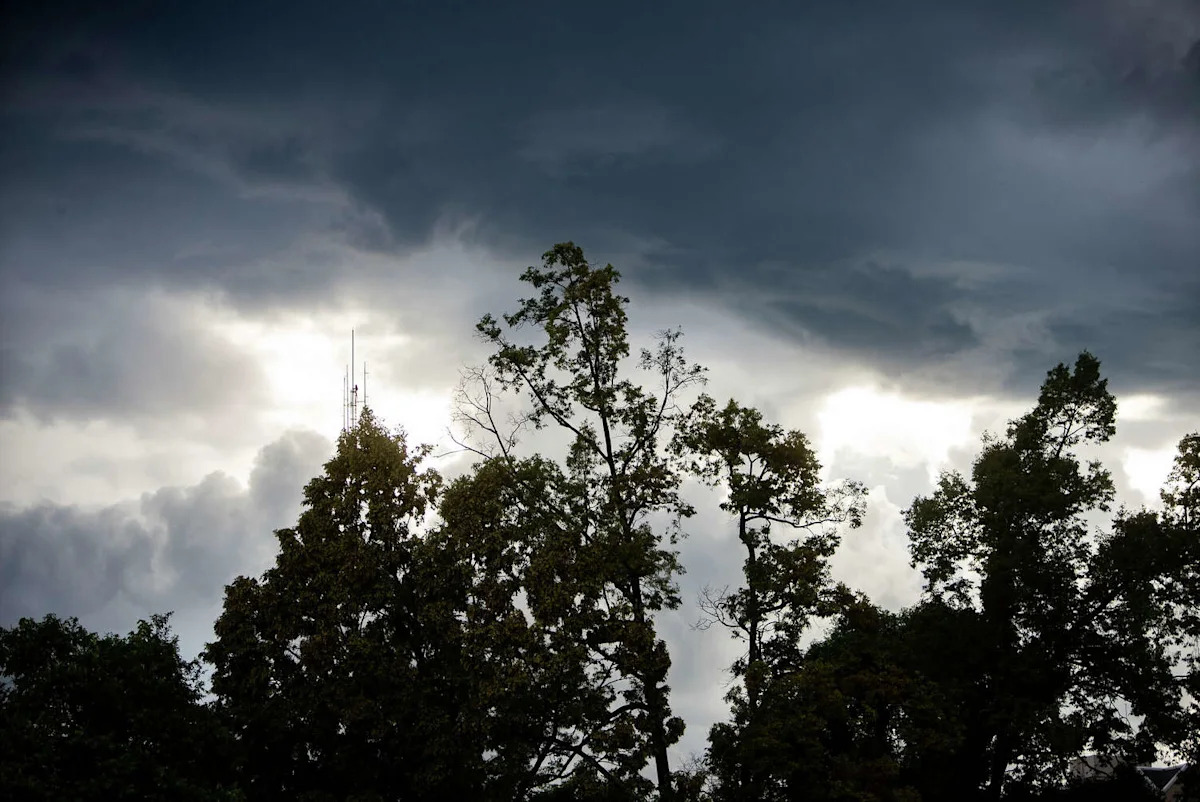
A rare summer cold front sweeping the state of Texas this weekend is upping the odds that most of the state will see some kind of storm. While it won’t feel like fall exactly, temperatures should dip by as much as 10 degrees in many major metros – a welcome reprieve after several days approaching 105.
It’s been a scorching week in Texas. Heat advisories have plagued the forecasts this week. But a one-off cold front is barreling in between Friday, July 31, and Saturday and slated to cast some gray clouds from Dalhart to Dallas and down to San Antonio.
“A weak frontal boundary [will] sneak south Saturday into Sunday with a brief northerly wind shift and low to medium (20-35 percent) chance of rain Saturday night into Sunday afternoon with isolated thunderstorms possible,” the National Weather Service Austin-San Antonio office predicts.
In the Texas Panhandle, forecasters expect afternoon highs to plummet from nearly 105 on Thursday to the mid-90s at the most on Friday. But amid this temperature dip, warnings of nearly 1-inch hail and severe storms rise. The region is plagued with a 20% to 30% chance of thunderstorms all day on Friday.
It won’t take long for these storm odds to reach North Texas.
“A weak cold front will bring a slight chance of storms late Friday and Saturday, followed by more seasonable temperatures late Saturday and Sunday. A few storms may produce gusty downburst winds,” the National Weather Service Dallas-Fort Worth office reports.
This burst of northern wind will even reach South Central Texas, bringing some relief from soaring summertime temperatures in San Antonio. The weekend highs should stay below the triple digit mark in the Alamo City, hovering in an ever so slightly more comfortable mid-90s range.
This article originally published at Cold front barreling toward Texas brings hail, storm threat – here’s where.