
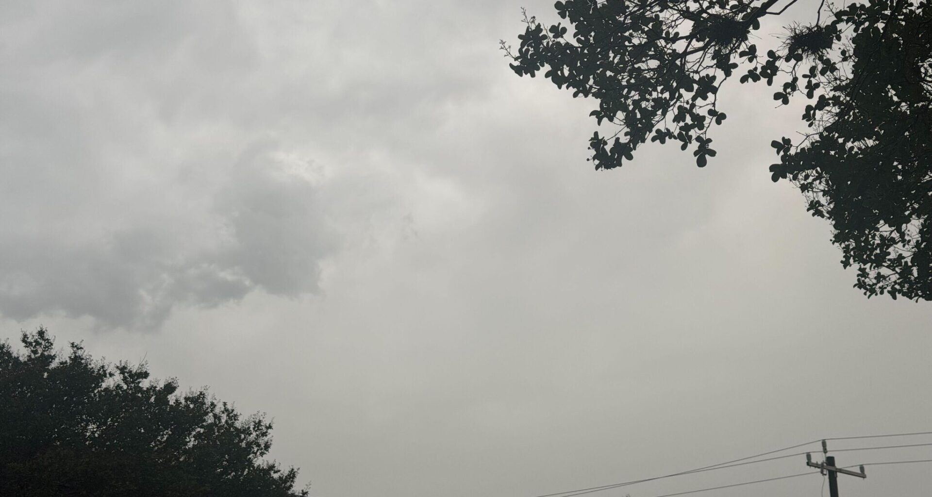
Basically, brace for rain, San Antonio. The National Weather Service says a cold front sweeping across Texas this week will likely reach the city by Saturday afternoon, August 1, which could push some of those soaring temperatures out and replace the forecast with cloudy skies and bouts of storms.
“This will allow a weak front to approach South Central Texas on Saturday,” the National Weather Service Austin-San Antonio office reports. “Most models bring the weak front over the area Saturday afternoon. A low to medium chance (20% to 40%) of rain accompanies the front, mainly in the form of isolated to scattered showers and thunderstorms.”
By Friday afternoon, forecasters said a first wave of storms could hit the Texas Hill Country by 1 p.m. San Antonio, however, should see storm odds rise around 3 p.m. on Saturday afternoon. And they’ll linger until 1 a.m. Sunday morning.
A risk of “cloud-to-ground lightning” and gusty winds of about 50 mph are also a slight cause for concern from Fredericksburg down to the Alamo City.
While the stormy weather is expected to be relatively scattered across South Central Texas, the national forecaster says those clouds could bring up to 3 inches of rain. In some areas, this could mean spells of heavier downpours –– though even the worst of it should avoid any weather advisories, as the front is moving quickly. But isolated flooding in the greater San Antonio area is still possible.
That stormy weather is expected to linger through Saturday evening and move out completely by Sunday morning. However, don’t expect fall-like days in San Antonio with this burst of northern air.
Afternoon highs will dip slightly, bringing a reprieve from triple-digit days, but they’ll still climb up into the upper 90s. Cloud coverage should bring a bit of relief, but those strong cold fronts with double-digit temperature plummets are likely long gone until summer wraps up in Texas.