
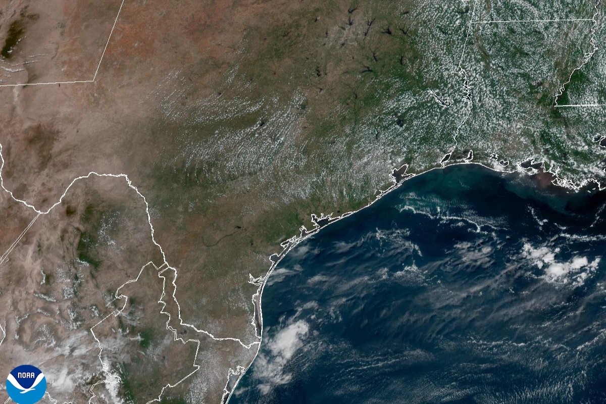
A sprawling ridge of high atmospheric pressure parked over the desert Southwest will keep most of the Lone Star State hot and predominantly dry Tuesday, even though its center remains west of Texas.
As a result, a familiar summer weather pattern is settling back into Texas this week, with little change from one day to the next.
While the start of the work week has featured relatively comfortable humidity levels, that won’t last for long. Moisture from the Gulf of Mexico will gradually return beginning Tuesday, bringing muggier mornings and stickier afternoons. Expect partly cloudy skies early with temperatures in the middle to upper 70s before sunshine takes over, sending afternoon highs back to around 100 degrees.
Dew point temperatures, which rise with how saturated the air is with moisture, will climb into the middle to upper 60s by afternoon, about 5 to 7 degrees higher than Sunday and Monday, marking the return of more typical August humidity. Heat index readings that factor in that muggy air will range between 101 and 104 degrees, which is still considered by the National Weather Service to be manageable for this time of year.
The ridge of high atmospheric pressure anchored over the desert Southwest will gradually expand eastward, strengthening the heat dome over Texas this week. At the surface, persistent southeasterly winds will continue to draw Gulf moisture inland. Dew points will push up, rising into the upper 60s and lower 70s, and bringing back the familiar muggy and sticky air.
That added moisture will also restore the typical summertime pattern of morning clouds giving way to mostly sunny skies each afternoon. Morning temperatures will remain warm, hovering near 80 degrees, while afternoon temps top out in the upper 90s.
Although actual temperatures may be a degree or two lower than earlier in the week, the higher humidity will keep heat index values between 104 and 110 degrees, making it feel much hotter outside.
Saturday’s cold front was unusual for August, as fronts this strong rarely make it this far south. While rainfall was hit-or-miss, some locations received a quick, heavy downpour, with isolated totals exceeding an inch, including parts of the southern Edwards Plateau between Rocksprings and Uvalde.
In fact, according to TV news reports, water levels on the Frio River rose rapidly Saturday, prompting Concan Fire & EMS to activate its emergency siren and urge everyone to get out of the river and move to higher ground.
That rain chance is long gone as the ridge of high pressure expands over Texas keeping most of the state rain-free, except for some coastal cities in Southeast Texas, and cities in the Texas Panhandle along the Oklahoma border.
Central Texas may be lucky enough to squeeze out a few sprinkles on Friday through the weekend, but rain chances remain limited to only 20%.