
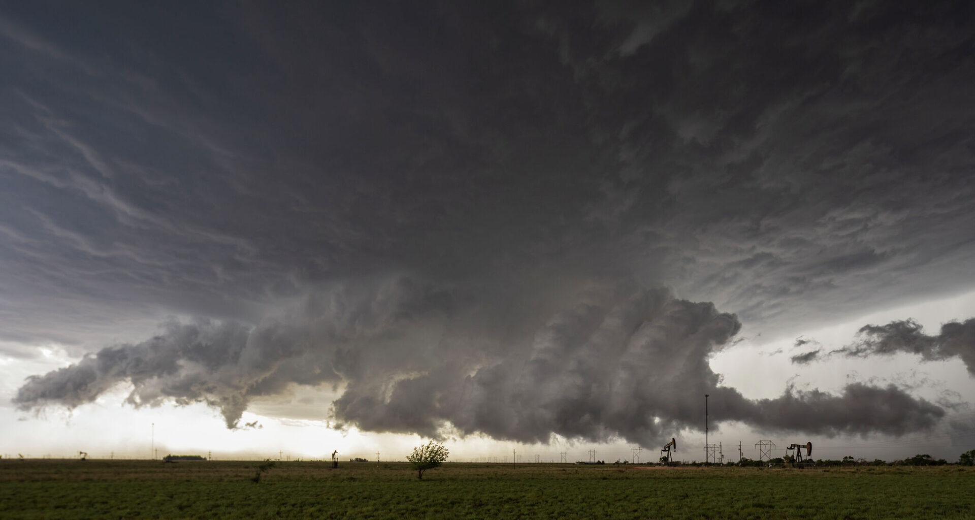
Parts of Texas are at risk for inclement weather on Wednesday, August 5. Several cities could see gray clouds roll in as soon as this afternoon.
The Amarillo office of the National Weather Service (NWS) is warning of thunderstorms and rain showers forming in the northwest and combined Panhandles. Some systems could become severe, with Stratford, Dalhart, and Dumas at a level 1 out of 5 risk of severe weather.
Forecasters say the main risks residents should remain alert for are damaging winds of up to 70 mph, half-inch-sized hail, and a very low tornado risk. The most likely time this could occur on Wednesday between 5 p.m. and 12 a.m. Residents of the aforementioned towns are urged to ensure they have multiple ways to receive weather alerts, should any be issued.
“Brief heavy rainfall can occur with these storms, flooding chances are very low but not zero,” the NWS wrote in its forecast discussion.
During daylight hours, the region can expect high temperatures of around 99 degrees, according to the NWS. After sunset, being outside will become much more enjoyable, with temperatures dropping to about 73 degrees.
Palo Duro Canyon could experience some of the most brutal conditions, with a forecast high of 105 degrees this afternoon. Meteorologists say those in this area face an increased heat risk, and a Heat Advisory is in effect through the evening hours.
“Be sure to stay hydrated to stave off any heat illness,” the agency wrote in its forecast discussion.