
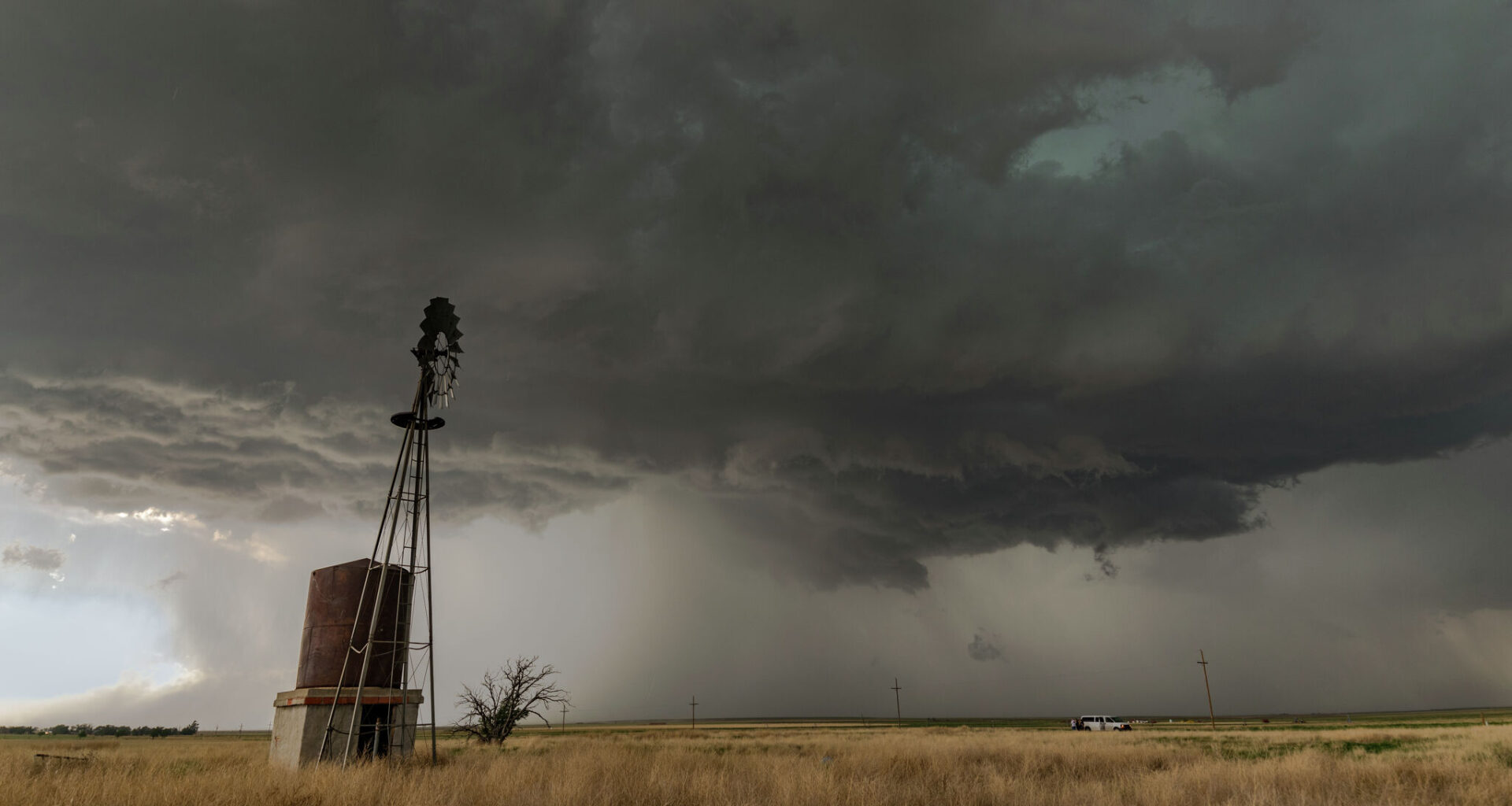
Summer may be in full swing, but Texas weather is doing what it does best – being unpredictable. As huge swaths of the Lone Star State deal with triple-digit, scorching days, some towns are facing threats of hail, damaging wind gusts and even a very low likelihood of a tornado.
As is often the case this time of year, some of the more chaotic weather from the Midwest and northern U.S. is making its way into the northern tip of Texas (the Panhandle). After a cold front swept the area earlier this week, temperatures dipped slightly, and turbulent weather moved in. Now, the National Weather Service says severe storms are possible in the northeastern towns of the Texas Panhandle.
“There is another 20% to 40% chance for thunderstorms on Thursday (August 6), this time for the northeastern combined Panhandles,” the National Weather Service Amarillo office said. “A few storms may become strong to severe with the primary hazard being damaging wind gusts up to 70 mph.”
According to the latest forecasts, penny-sized hail and 70 mph wind gusts could accompany storms from the Panhandle’s northeast corner down past the Texas town of Canadian. Sustained wind speeds of 70 mph are classified as storm force – capable of downing large trees and causing widespread damage – according to the National Weather Service. However, wind gusts should cause less damage while still being impactful.
Further, the national agency says there’s a very low chance of a tornado. Essentially, it’s unlikely to happen, but the right conditions for a twister can’t be ruled out yet.
Storms are expected to reach their peak in this region between 5 p.m. and 11 p.m. Thursday evening. But gray clouds loom over the area through Friday night before clearing out for sunny skies the rest of the weekend.