
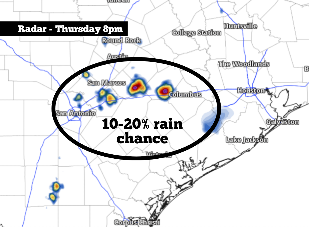
Rain chances are expected to stay low on Thursday. However, as high pressure shifts slightly to the west, a few isolated showers or weak storms may become possible by the late afternoon and evening, with the best chances expected in the Coastal Plains, southeast of San Antonio. Here’s what to expect.
Early in the morning, San Antonio will be muggy and warm, with mostly cloudy skies expected. Temperatures will hover in the upper 70s early on, rising into the 80s after 9 a.m. as skies begin to start clearing.
By 11 a.m., skies will turn mostly sunny and temperatures will rise quickly as a result. San Antonio temps will likely be at 90 degrees at noon before topping out at 97 to 98 degrees by 4 p.m. Just like in the past few days, though, humidity levels will be elevated, causing the heat index to reach as high as 107 degrees.
A few isolated showers or weak thunderstorms are also expected to develop. However, overall rain coverage will be quite low, with most areas staying dry. San Antonio will have just a 10% chance of rainfall between 5 and 10 p.m.
Areas farther east — including Seguin, Gonzales and Victoria — will have about a 20% chance of rain. Even farther east, the Houston metro area will have about a 30% chance of rain on Thursday.
Because of the high moisture levels in the atmosphere, temperatures will be very slow to fall during the evening. Even by 8 p.m., San Antonio is likely to experience temperatures near 93 degrees with a humidity-boosted heat index of 100 degrees or higher.
As high pressure continues to slide slightly away from South Texas, peak daytime temperatures will likely fall by a degree or two. Although the difference won’t be too noticeable, temps are expected to reach only 95 to 97 degrees from Friday and into the weekend. Still, heat index values will reach 103 to 105 degrees each day.
A few isolated showers will once again be possible across the Coastal Plains, mainly south and east of San Antonio. But overall rain chances will stay very low.
Multiple forecast models, including the American GFS and the European ECMWF, show that temperatures may rise into the triple digits by the middle of next week, particularly by Aug. 12 or 13. With lingering high air pressure, near-triple digit heat is expected to continue into the following weekend.
Through the next week or two, rain chances will continue to be slim to none across South-Central Texas. Long-range weather models suggest that the dry weather is favored through the end of August, with better rain chances likely by September.