
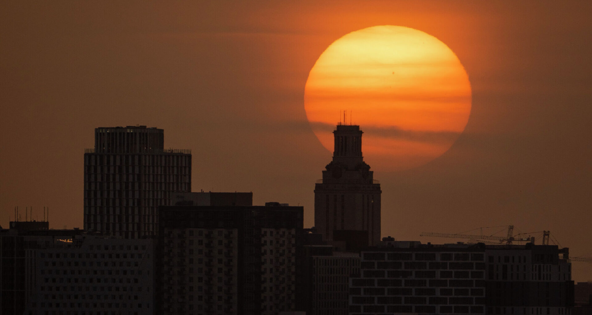
Austin in the morning will be warm and muggy, but temperatures will be near seasonal averages in the upper 70s. We’ll wake up to mostly cloudy skies and light south winds of 3 to 5 mph. Clouds will gradually clear by 10 a.m. as winds increase to 5 to 10 mph and temperatures climb to around 90 degrees by noon.
The rest of the day will be sunny and hot, with afternoon temperatures quickly climbing into the upper 90s. That’s near the early-August average high of 99 degrees, but it will feel more like 101 to 105 degrees because of the humidity.
Wednesday night’s temperatures won’t offer much relief. Overnight weather will remain warm and muggy, with temps falling only into the upper 70s.
The heat dome of high atmospheric pressure is centered over the desert Southwest, but it will expand eastward and merge with another area of high pressure developing over the Gulf of Mexico. The result is a familiar August weather pattern: soaring temperatures and little to no rainfall through the rest of the work week and into the weekend.
The only exception will be a few isolated coastal showers and thunderstorms later this week. If conditions cooperate, a stray shower could drift as far west as areas just east of Interstate 35, bringing only a 10% to 20% chance of rain Thursday and Friday afternoon into the early evening.
Seasonal heat will continue across the region, with afternoons in the upper 90s to near 100 degrees. Temperatures may ease by a degree or two as low-level moisture increases slightly, but the added humidity will keep heat index values elevated, remaining near or just below the National Weather Service’s heat advisory criteria, between 105 to 108 degrees.
Continue practicing heat safety throughout the week. The National Weather Service’s HeatRisk map shows Central Texas’ heat risk to public health will range from moderate to major, meaning anyone spending extended time outdoors, especially those without access to air conditioning or adequate hydration, could be at risk of heat-related illnesses like heat exhaustion or heatstroke.
The phrase “summer doldrums” isn’t just a colorful way to describe the stagnant heat that settles over Texas in August and September. Like the “dog days of summer,” it’s a meteorological term rooted in science and history.
According to the National Weather Service, the “summer doldrums” refer to a hot, humid, and often windless stretch of weather characterized by light winds, slow-moving days, and a general sense of sluggishness. The term traces its origins to the old sailing days, when ships crossing the equatorial regions often became stranded for days — or even weeks — in calm, windless waters known as the doldrums.