
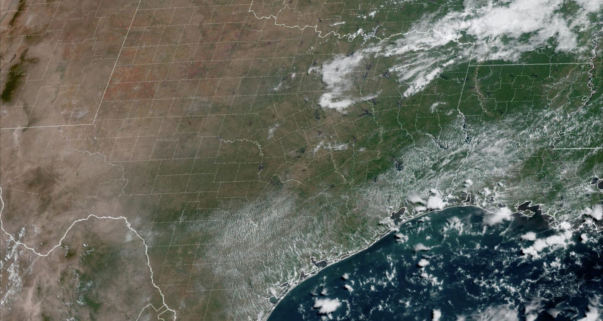
As the second half of summer has dragged on, the weather in South Texas has gotten increasingly dry. With high-atmospheric pressure being the dominant feature in the atmosphere, 22 of the past 23 days in San Antonio have gone without measurable rainfall.
However, even through this dry stretch, San Antonio’s rainfall this year has been well above-average. Through Aug. 8, the city has received 24.79 inches of rain, which is 31% more rain than normal. It’s also the most rain San Antonio has seen through this point in the year in over a decade.
While rain chances are expected to stay low in the coming days, a few isolated showers and storms will be possible on Sunday. Here’s a look at what you can expect.
Sunday morning will start similarly to the past several days, with partly cloudy skies and temperatures in the upper 70s to low 80s through 9 a.m. As skies start to clear out, San Antonio temps will rise to near 90 degrees by noon.
Afternoon high temperatures are expected to top out near 97 degrees in the San Antonio metro area, which is right at the historical average for early to mid-August. Humidly will stay elevated, however, resulting in heat index values up to around 105 degrees between 2 and 5 p.m.
A few isolated showers and storms are also expected to develop during the late afternoon and evening, mainly between 5 and 9 p.m. However, overall rain coverage is likely to stay low, with only a 10% to 20% chance of rain in San Antonio. Most areas across South-Central Texas will stay dry.
High atmospheric pressure will move back over Texas during the upcoming week, allowing temps to slowly rise yet again. On Monday, highs are likely to reach 98 degrees, before inching higher to 99 degrees by Tuesday.
The hottest days of the week are expected by Wednesday and Thursday, when San Antonio is most likely to encounter triple-digit high temperatures. Humidity is expected to also be higher than normal, leading to heat index values between 107 and 110 degrees.
While a few isolated showers are possible again on Monday, no additional rain chances are likely throughout the upcoming week. Wind speeds will also be breezy, coming in at 15-20 mph each afternoon.
Weather models are showing that high heat is likely to continue through next weekend and into the following week as well. During this time, temperatures will likely hover in the upper 90s to near 100 degrees each day.
Dry conditions are also expected, as the ECMWF ensemble weather model projects well below-average precipitation through the end of August. However, the model does suggest a shift in the weather pattern by September, as near- to slightly above-average rainfall could return. Be sure to stay with expressnews.com/weather for continued daily updates.