
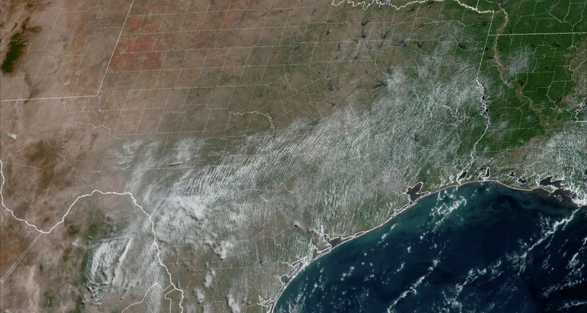
San Antonio is enduring its driest period of the year thus far. Since July 25, San Antonio has recorded 22 consecutive days without measurable rainfall, the longest dry streak the city has experienced since November 2025. However, that’s nowhere near the city’s longest-ever rainless streak, which lasted 63 days in 1993.
The dry streak is likely to be extended for several more days, as high atmospheric pressure is forecast to linger across Texas during the upcoming week. However, some long-range weather models are starting to suggest a shift in the weather pattern, which could bring rain chances back into the fold. Here’s what you can expect.
Relatively pleasant conditions are expected Sunday morning in San Antonio, as temperatures will sit in the mid- to upper 70s through 9 a.m. under mostly cloudy skies. By the middle of the day, skies will turn mostly sunny, allowing temperatures to rise quickly.
San Antonio will likely see temperatures in the low 90s by noon, likely rising into the upper 90s by the late afternoon. Overall highs will likely stay just under the 100-degree mark for most of the metro area, but a few spots on the South Side could briefly reach triple digits.
The humidity will make conditions feel even warmer, as heat index values are likely to reach 103 to 105 degrees. If you have outdoor plans, be sure to stay properly hydrated, wear light and loose-fitting clothing and take frequent breaks in air-conditioned spaces.
After temperatures top out in the upper 90s again Monday, conditions will continue heating up during the middle of the week as high pressure strengthens. San Antonio will likely touch the 100-degree mark on Tuesday, with heat index values rising to around 105 degrees.
The hottest days of the week are expected from Wednesday through Friday, as highs are likely to reach 101-102 degrees throughout much of South Texas. With humidity levels staying consistently high, heat index values will approach 107 degrees.
Throughout the week, rain chances will be slim to none across South Texas. The only exception will be Friday, as a slight shift in the high pressure may allow for a few pop-up storms to develop in Central Texas and the Hill Country. However, rain chances will stay under 20%.
A few long-range models are starting to show that high-pressure could shift farther west by the weekend, allowing a few scattered showers and storms to form near the San Antonio area. However, high levels of uncertainty still exist, as some forecast models keep high pressure in the area. San Antonio’s overall rain chances this weekend will be about 20%.
Better rain chances are not likely in the region until the first week of September. According to the ECMWF ensemble model, that’s when rainfall is expected to finally rise back to near-average levels across the region.