
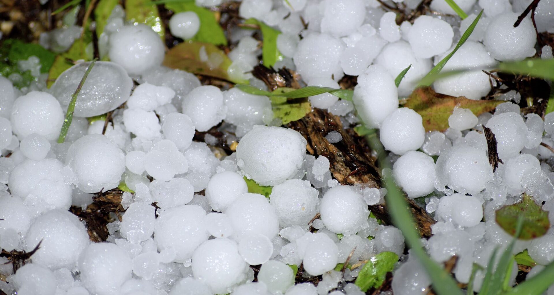
Meteorologists are forecasting a low chance of severe weather across parts of the Texas Panhandle on Sunday afternoon, lasting through the evening. Residents could see half-inch hail, 70 mph wind gusts and a low risk for an isolated tornado, according to the National Weather Service (NWS) Amarillo Office.
“Severe weather could occur with two rounds of storms across much of the Panhandles today-tonight,” forecasters wrote Sunday. “The first round is expected across the southern Panhandles along a boundary, with the later round forecast to occur further north with an upper level system.”
Severe storms are most likely to hit between 3 p.m. and midnight. A 20 percent chance of showers is forecast after 1 p.m., increasing to a 30 percent chance of showers at night before 10 p.m.
“A distinct lack of wind shear for tomorrow is expected to keep most of these storms more vertical making it hard to stay organized long enough to produce much in terms of hail,” forecasters wrote. “Instead concern will be more focused on the potential for damaging winds and localized flooding.”
While warmer, drier weather is expected to return to the Panhandle on Monday, a chance of isolated thunderstorms persists.
“Chances of isolated thunderstorms do … remain present for the north that afternoon and evening albeit at only around a 10 to 20 percent,” forecasters wrote.