
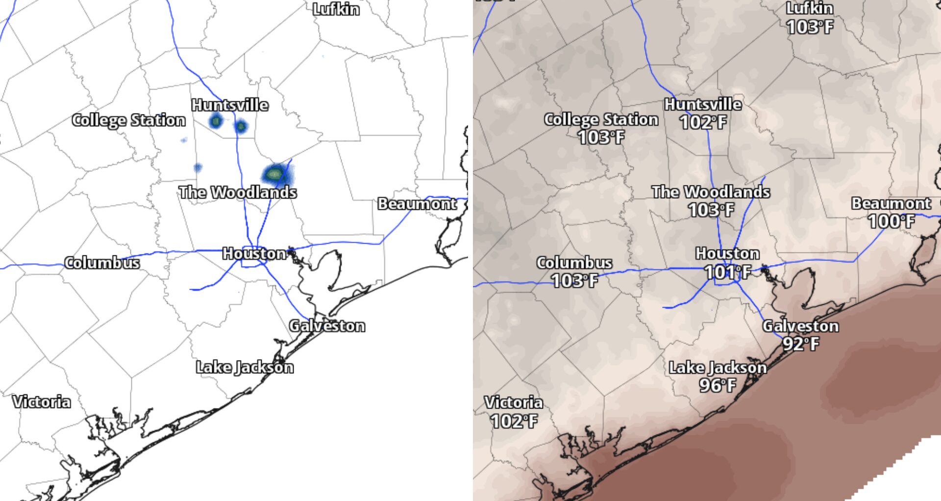
Houston has endured a hot week, but this weekend could bring even warmer afternoons — with a few storms offering short-lived relief.
Saturday could be one of the hottest days of the weekend, with temperatures nearing 100 degrees across the Houston area and heat index values soaring well above that. Even Galveston, which will likely avoid 100-degree heat, could see feels-like temperatures above 108 degrees. A few storms may interrupt the heat in spots, but dangerous temperatures will remain the dominant story.
Saturday will be hot enough to put Houston’s daily record in the conversation, even if it probably won’t break it.
The forecast high of 102 degrees would fall about 4 degrees short of the 106-degree record set in 1980. The heat index will climb well above the actual temperature during the afternoon, making outdoor plans to soak in the pool or grill increasingly uncomfortable and potentially dangerous.
Plan outdoor work and exercise for the morning if possible, and take regular breaks in the shade or air conditioning. A few showers or thunderstorms could develop later Saturday, especially north of Houston, but rain chances remain slim at 10% to 20%.
Most neighborhoods will stay dry this weekend, though a quick downpour could briefly cool temperatures in spots.
A broad area of high pressure is expected to remain in place across the western and central United States, keeping temperatures above normal across Texas through next week and into early September.
Rainfall will likely run below normal across Southeast Texas, although that does not eliminate the chance for an isolated afternoon or evening storm. A few weather disturbances can still bring brief downpours, even in an otherwise hot and dry pattern.
Don’t let a storm chance fool you into expecting a cooler day next week. Storms will be isolated, so one neighborhood could get a downpour while another stays sunny and dangerously hot.
The high pressure system may gradually weaken later in the outlook period, but there is no obvious end to the heat yet.